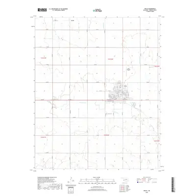
2018 Map of Hollis
USGS Topo · Published 2018About this map
The city of Hollis serves as the central hub of this Harmon County landscape, situated at the junction of E Broadway St and N Hudson St. This contemporary survey illustrates the organized grid of the regional seat, surrounded by the agricultural expanses of the Oklahoma panhandle. To the west lies the small community of Arnett, while the surrounding sections are defined by an extensive network of section-line roads, such as e1610 RD and n1700 RD.
Find a feature on this map
62 named features on this map. Tap any name to fly to it.
Don’t see what you’re looking for? This feature index may not catch every label — zoom into the map to look around manually.
Map Details
Editions of this 2018 Hollis Map
This is the sole edition of this map. No revisions or reprints were ever made.
Other maps of this area

1954 · Plainview
USGS Topo · 1:250,000

1955 · Lawton
USGS Topo · 1:250,000

1958 · Plainview
USGS Topo · 1:250,000
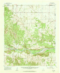
1960 · Loco
USGS Topo · 1:62,500
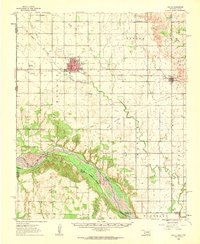
1961 · Hollis
USGS Topo · 1:62,500
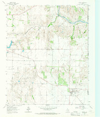
1964 · Dodson
USGS Topo · 1:24,000
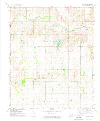
1971 · Mc Knight
USGS Topo · 1:24,000
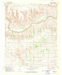
1971 · Shrewder
USGS Topo · 1:24,000
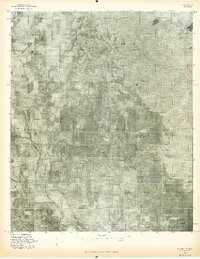
1975 · Hollis NE
USGS Topo · 1:24,000
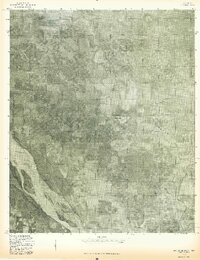
1975 · Hollis SE
USGS Topo · 1:24,000