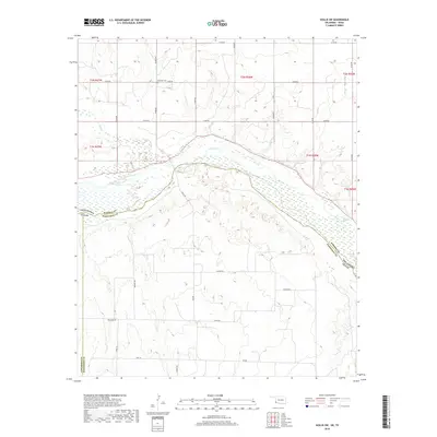
2018 Map of Hollis SW
USGS Topo · Published 2018About this map
The Prairie Dog Town Fork Red River carves a wide path through this borderland where Oklahoma and Texas meet. The riverbed, often braided with shifting wetlands, serves as a primary geographic anchor for the region, joined by the Red River and smaller tributaries like Buck Cr and Tepee Cr. The landscape is a mix of agricultural plots and low-lying areas like Star Valley, oriented around a grid of rural routes including Hollis Rd and FM 680. For those researching family ties in the area, the Halsmith Cem sits north of the river, providing a localized point of interest for genealogists tracing early residents of this cross-border territory between Harmon and Hardeman counties.
Find a feature on this map
24 named features on this map. Tap any name to fly to it.
Don’t see what you’re looking for? This feature index may not catch every label — zoom into the map to look around manually.
Map Details
Editions of this 2018 Hollis SW Map
This is the sole edition of this map. No revisions or reprints were ever made.
Other maps of this area
1954 · Plainview
USGS Topo · 1:250,000
1955 · Lawton
USGS Topo · 1:250,000
1958 · Plainview
USGS Topo · 1:250,000
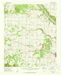
1960 · Goodlett
USGS Topo · 1:62,500
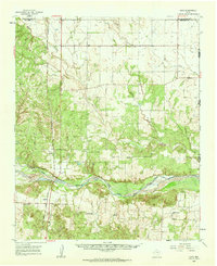
1960 · Loco
USGS Topo · 1:62,500
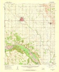
1961 · Hollis
USGS Topo · 1:62,500
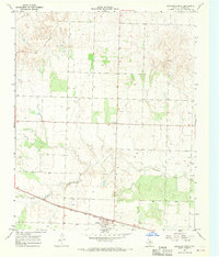
1967 · Kirkland North
USGS Topo · 1:24,000
1975 · Hollis NE
USGS Topo · 1:24,000
1975 · Hollis SE
USGS Topo · 1:24,000
1975 · Hollis NW
USGS Topo · 1:24,000