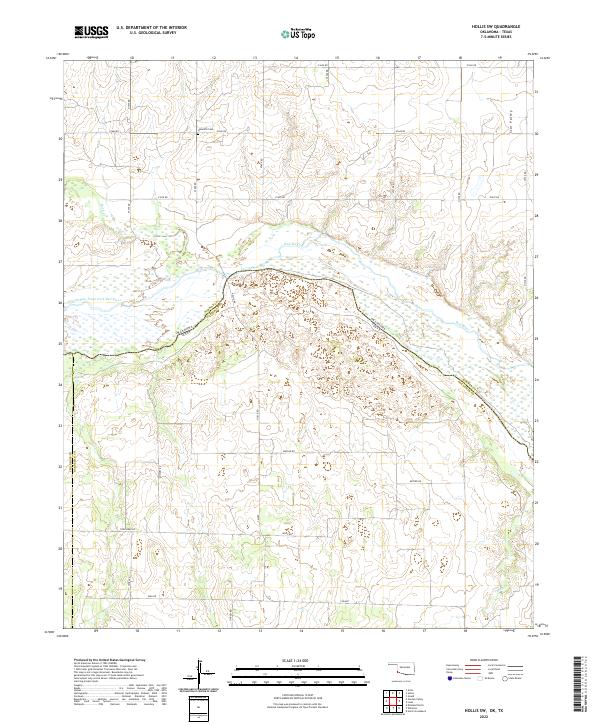
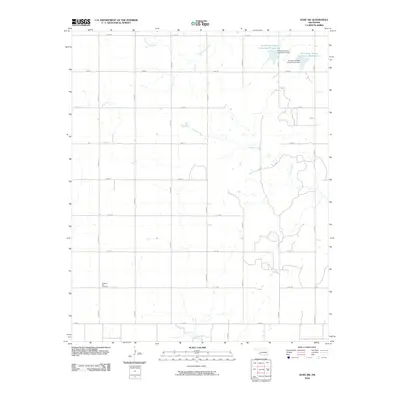
2022 Map of Hollis SW
USGS Topo · Published 2022About this map
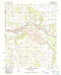
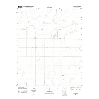
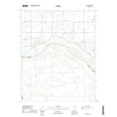
The Red River defines the border between Oklahoma and Texas in this southwestern corner of Harmon County, where the wide, sandy riverbed transitions into the Prairie Dog Town Fork Red River. The landscape is a sprawling network of section roads and cattle country, marked by the elevation of Star Valley in the northeast. Genealogists and local historians will find the Halsmith Cem located along e1660 RD, serving as a quiet marker of the families who settled this prairie land. The map details a primarily agricultural region where small watercourses like Buck Cr and Tepee Cr carve through the plains, eventually feeding into the main river system that historically shaped the state boundary.
Find a feature on this map
23 named features on this map. Tap any name to fly to it.
Don’t see what you’re looking for? This feature index may not catch every label — zoom into the map to look around manually.
Map Details
Editions of this 2022 Hollis SW Map
This is the sole edition of this map. No revisions or reprints were ever made.
Historical Maps of Harmon County Through Time
51 maps found
1971 Duke SW
Harmon County, OK
1971 Madge
Harmon County, OK
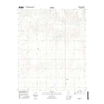
1971 Mc Knight
Harmon County, OK
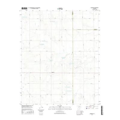
1971 Mc Queen
Harmon County, OK
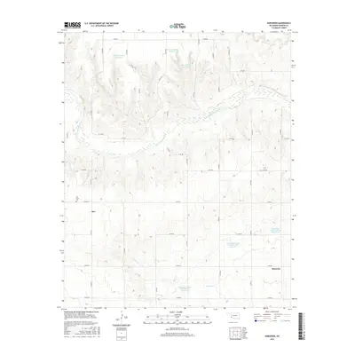
1971 Shrewder
Harmon County, OK
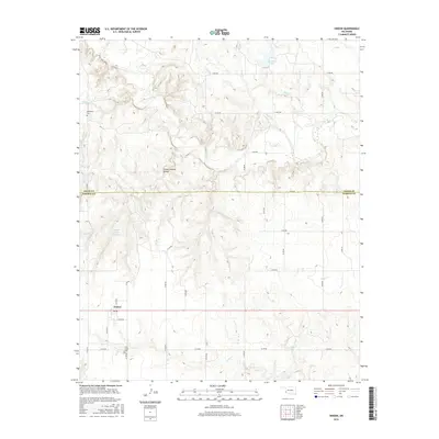
1971 Vinson
Harmon County, OK
1975 Hollis NE
Harmon County, OK
1975 Hollis NW
Harmon County, OK
1975 Hollis SE
Harmon County, OK
1985 Hollis SW
Harmon County, OK
1985 Louis
Harmon County, OK
2010 Duke SW
Harmon County, OK
2010 Hollis SW
Harmon County, OK
2010 Louis
Harmon County, OK
2010 Madge
Harmon County, OK
2010 McKnight
Harmon County, OK
2010 McQueen
Harmon County, OK
2010 Shrewder
Harmon County, OK
2010 Vinson
Harmon County, OK
2012 Duke SW
Harmon County, OK
2012 Hollis SW
Harmon County, OK
2012 Louis
Harmon County, OK
2012 Madge
Harmon County, OK
2012 McKnight
Harmon County, OK
2012 McQueen
Harmon County, OK
2012 Shrewder
Harmon County, OK
2012 Vinson
Harmon County, OK
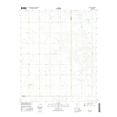
2016 Duke SW
Harmon County, OK
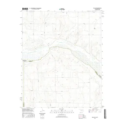
2016 Hollis SW
Harmon County, OK
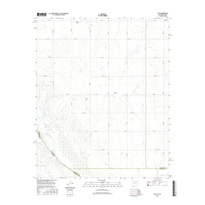
2016 Louis
Harmon County, OK
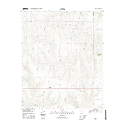
2016 Madge
Harmon County, OK
2016 McKnight
Harmon County, OK
2016 McQueen
Harmon County, OK
2016 Shrewder
Harmon County, OK
2016 Vinson
Harmon County, OK
2018 Duke SW
Harmon County, OK
2018 Hollis SW
Harmon County, OK
2018 Louis
Harmon County, OK
2018 Madge
Harmon County, OK
2018 McKnight
Harmon County, OK
2018 McQueen
Harmon County, OK
2018 Shrewder
Harmon County, OK
2018 Vinson
Harmon County, OK
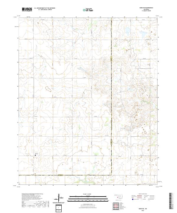
2022 Duke SW
Harmon County, OK
2022 Hollis SW
Harmon County, OK
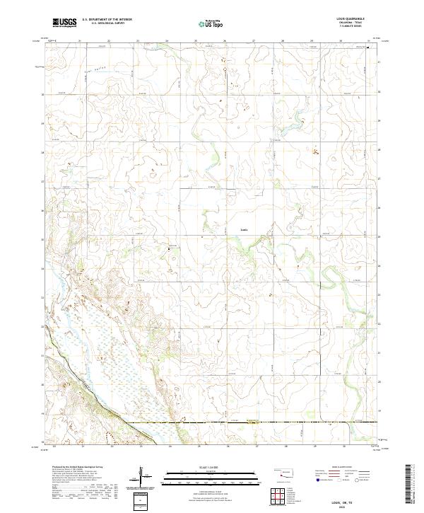
2022 Louis
Harmon County, OK
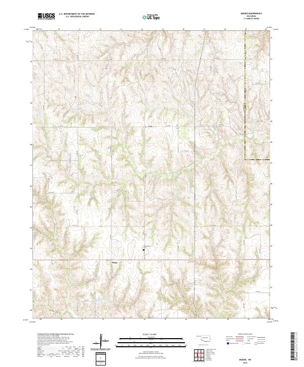
2022 Madge
Harmon County, OK
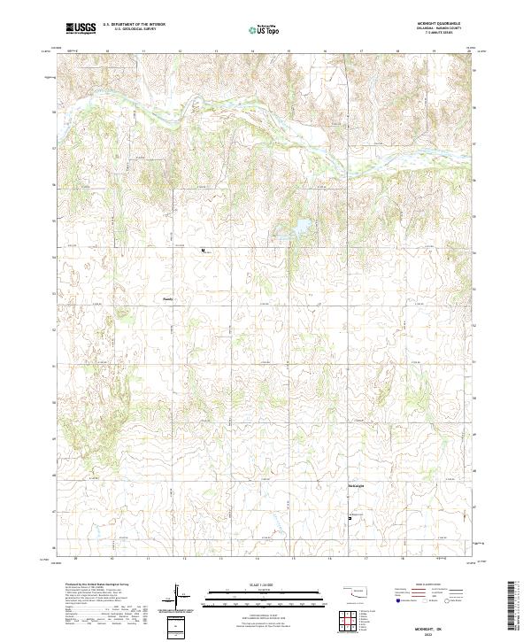
2022 McKnight
Harmon County, OK
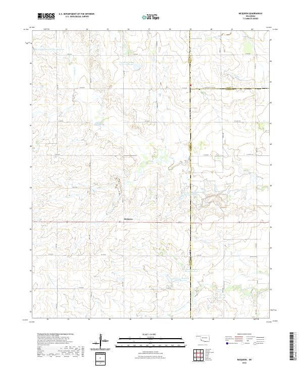
2022 McQueen
Harmon County, OK
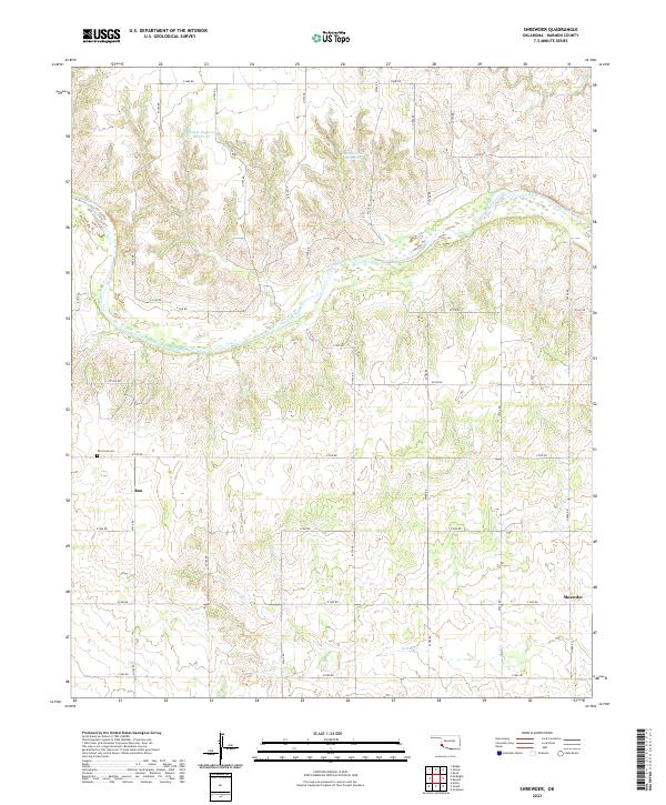
2022 Shrewder
Harmon County, OK
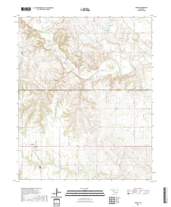
2022 Vinson
Harmon County, OK