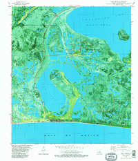
1982 Map of Holly Beach
USGS Topo · Published 1982About this map
Holly Beach anchors this coastal landscape where the waters of the Gulf of Mexico meet the intricate wetlands of the Sabine National Wildlife Refuge. In the early 1980s, the region was characterized by the intensive extraction of natural resources from the marsh, evidenced by the East Mud Lake Gas Field, Mud Lake Gas Field, and the East Holly Beach Gas Field. These industrial footprints are superimposed over a fragile estuarine environment where the Creole Nature Trail winds northward past a Lookout Tower and Refuge Boat Ramp.
Find a feature on this map
31 named features on this map. Tap any name to fly to it.
Don’t see what you’re looking for? This feature index may not catch every label — zoom into the map to look around manually.
Map Details
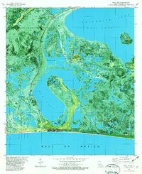
Editions of this 1982 Holly Beach Map
2 editions found
Other maps of this area

1934 · Cameron
USGS Topo · 1:24,000

1934 · Holly Beach
USGS Topo · 1:24,000

1934 · Peveto Beach
USGS Topo · 1:24,000

1934 · Browns Lake
USGS Topo · 1:24,000

1934 · Five Lakes
USGS Topo · 1:24,000

1935 · Peveto Beach
USGS Topo · 1:31,680

1935 · Cameron
USGS Topo · 1:31,680

1935 · Five Lakes
USGS Topo · 1:31,680

1935 · Hackberry
USGS Topo · 1:31,680

1935 · Holly Beach
USGS Topo · 1:31,680