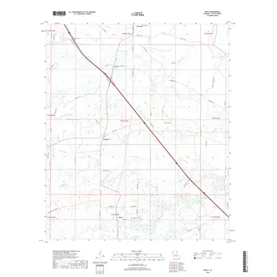
2018 Map of Holly
USGS Topo · Published 2018About this map
Kingston and Holly sit at the center of this DeSoto Parish landscape, where the local economy and geography are defined by the winding paths of several bayous. The northern edge is anchored by Frierson, while the rural surroundings are dotted with legacy sites such as Evergreen Cem, Saint Marks Cem, and Slone Cem. These burial grounds serve as important markers for genealogists and local historians tracing the settlement patterns of this corner of Louisiana.
Find a feature on this map
66 named features on this map. Tap any name to fly to it.
Don’t see what you’re looking for? This feature index may not catch every label — zoom into the map to look around manually.
Map Details
Editions of this 2018 Holly Map
This is the sole edition of this map. No revisions or reprints were ever made.
Other maps of this area
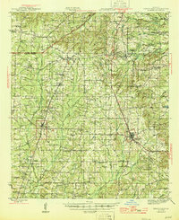
1945 · Grand Cane
USGS Topo · 1:62,500
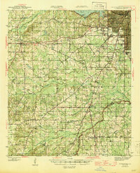
1945 · Greenwood
USGS Topo · 1:62,500
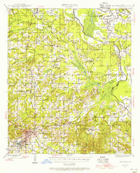
1945 · Mansfield
USGS Topo · 1:62,500
1947 · Mansfield
USGS Topo · 1:62,500
1948 · Caspiana
USGS Topo · 1:62,500
1955 · Shreveport
USGS Topo · 1:250,000
1955 · Caspiana
USGS Topo · 1:62,500
1955 · Greenwood
USGS Topo · 1:62,500
1956 · Shreveport
USGS Topo · 1:250,000
1957 · Grand Cane
USGS Topo · 1:62,500