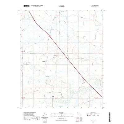
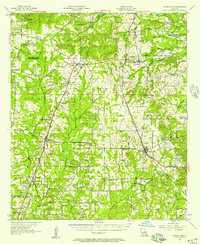
2020 Map of Holly
USGS Topo · Published 2020About this map
Kingston and Holly anchor this De Soto Parish landscape, where small rural settlements are linked by a network of parish roads and state routes. The terrain is defined by a dense web of slow-moving waterways, including Bayou Na Bonchasse and its tributary Little Bayou Na Bonchasse, alongside McGee Bayou and Caney Bayou. These drainages create a complex pattern of low-lying wetlands and subtle ridges that have historically influenced road placement and property boundaries.
Find a feature on this map
72 named features on this map. Tap any name to fly to it.
Don’t see what you’re looking for? This feature index may not catch every label — zoom into the map to look around manually.
Map Details
Editions of this 2020 Holly Map
This is the sole edition of this map. No revisions or reprints were ever made.
Other maps of this area
1945 · Grand Cane
USGS Topo · 1:62,500
1945 · Greenwood
USGS Topo · 1:62,500
1945 · Mansfield
USGS Topo · 1:62,500
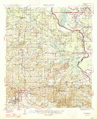
1947 · Mansfield
USGS Topo · 1:62,500
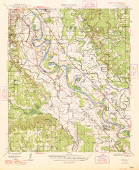
1948 · Caspiana
USGS Topo · 1:62,500

1955 · Shreveport
USGS Topo · 1:250,000
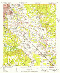
1955 · Caspiana
USGS Topo · 1:62,500
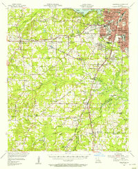
1955 · Greenwood
USGS Topo · 1:62,500

1956 · Shreveport
USGS Topo · 1:250,000
1957 · Grand Cane
USGS Topo · 1:62,500