
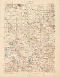
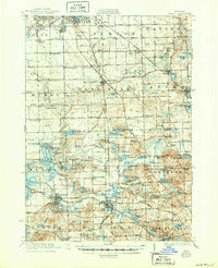
1922 Map of Holly
USGS Topo · Published 1922About this map
Flint anchors the northern reaches of this Genesee and Oakland County landscape, where the southern expansion of the city meets the early twentieth-century village centers of Grand Blanc and Holly. The map captures a transition from industrial hubs to a lacustrine interior, where the Shiawassee River winds past Fenton and numerous glacial basins like Silver Lake and Bush Lake. This 1920 survey reveals a rural society organized around crossroads and local institutions, evidenced by the high density of district schools such as Atherton School, Carman School, and Stony Run School. The transportation network is in a period of change, featuring the established Grand Trunk railroad alongside the Detroit United Electric line and an emerging grid of named thoroughfares like Atherton Road and Belsay Road. Traces of local industry, such as Groveland Mills, appear among the ridges and kettle lakes that characterize this corner of Michigan.
Find a feature on this map
160 named features on this map. Tap any name to fly to it.
Don’t see what you’re looking for? This feature index may not catch every label — zoom into the map to look around manually.
Map Details
Editions of this 1922 Holly Map
3 editions found
Other maps of this area

1907 · Pontiac
USGS Topo · 1:62,500

1907 · Howell
USGS Topo · 1:62,500

1909 · Howell
USGS Topo · 1:62,500

1909 · Milford
USGS Topo · 1:62,500

1919 · Burt
USGS Topo · 1:62,500

1920 · Flint
USGS Topo · 1:62,500

1920 · Holly
USGS Topo · 1:62,500

1921 · Burt
USGS Topo · 1:62,500

1922 · Durand
USGS Topo · 1:62,500

1922 · Flint
USGS Topo · 1:62,500