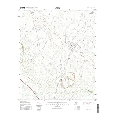
2017 Map of Holly Hill
USGS Topo · Published 2017About this map
The town of Holly Hill sits at a crossroads of lowcountry terrain, where the agricultural plains of Orangeburg County meet extensive wetlands. This 2017 survey details the complex hydrologic network of the region, including the broad expanse of Four Hole Swamp and smaller tributaries like Horse Range Swamp and Target Swamp. The settlement pattern is defined by rural communities such as Bowyer, Wells, and Four Holes, each connected by a grid of local roads and state routes like 176. Genealogy interests are well-served by the inclusion of numerous historic burial grounds, including the Platt Family Cem and church-affiliated sites like Corinth Baptist Church Cem. The landscape also supports local aviation via Holly Hill Airport and Russell Airport, reflecting the area's continued role as a regional transit and agricultural hub.
Find a feature on this map
108 named features on this map. Tap any name to fly to it.
Don’t see what you’re looking for? This feature index may not catch every label — zoom into the map to look around manually.
Map Details
Editions of this 2017 Holly Hill Map
This is the sole edition of this map. No revisions or reprints were ever made.
Other maps of this area

1919 · Ridgeville
USGS Topo · 1:48,000

1920 · Eutawville
USGS Topo · 1:48,000

1920 · Bowman
USGS Topo · 1:48,000

1920 · Ridgeville
USGS Topo · 1:62,500

1920 · St. George
USGS Topo · 1:48,000

1921 · Bowman
USGS Topo · 1:62,500

1921 · St. George
USGS Topo · 1:62,500

1921 · Eutawville
USGS Topo · 1:62,500

1943 · Bowman
USGS Topo · 1:62,500

1943 · Orangeburg
USGS Topo · 1:125,000