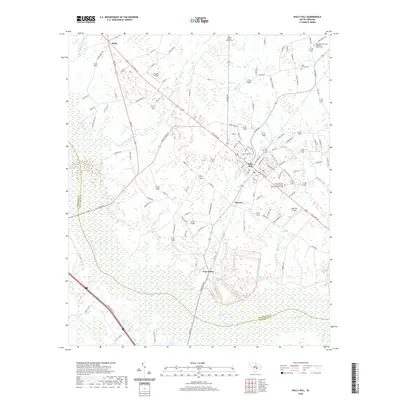
2020 Map of Holly Hill
USGS Topo · Published 2020About this map
Holly Hill serves as a central hub for this corner of the South Carolina Lowcountry, where modern infrastructure meets a deep-rooted agricultural and spiritual landscape. The map reveals a high concentration of historic faith centers and family burial grounds, including the Platt Family Cem and the Bethlehem Southern Methodist Church Cem near the town's northern edge. Beyond the settled areas of Wells and Bowyer, the terrain is defined by the extensive wetlands of Target Swamp and Four Hole Swamp. These hydrologic features, alongside named water bodies like Peedee Lake and Rowser Lake, dictate the layout of historic routes such as Old State Rd and the Jackson Belt Rd. The presence of both the Holly Hill Airport and Russell Airport indicates the regional significance of this area for local transport and commerce between the surrounding swamplands.
Find a feature on this map
110 named features on this map. Tap any name to fly to it.
Don’t see what you’re looking for? This feature index may not catch every label — zoom into the map to look around manually.
Map Details
Editions of this 2020 Holly Hill Map
This is the sole edition of this map. No revisions or reprints were ever made.
Other maps of this area

1919 · Ridgeville
USGS Topo · 1:48,000

1920 · Eutawville
USGS Topo · 1:48,000

1920 · Bowman
USGS Topo · 1:48,000

1920 · Ridgeville
USGS Topo · 1:62,500

1920 · St. George
USGS Topo · 1:48,000

1921 · Bowman
USGS Topo · 1:62,500

1921 · St. George
USGS Topo · 1:62,500

1921 · Eutawville
USGS Topo · 1:62,500

1943 · Bowman
USGS Topo · 1:62,500

1943 · Orangeburg
USGS Topo · 1:125,000