2024 Map of Holly Hill
USGS Topo · Published 2024About this map
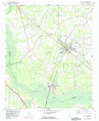
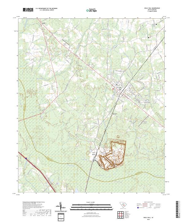
Holly Hill serves as the primary hub of this landscape, situated at the intersection of major routes like Old State Rd and Eutaw Rd. The surrounding terrain is defined by an extensive network of wetlands, notably the Four Hole Swamp and Horse Range Swamp, which influence the drainage patterns of the coastal plain. Smaller communities such as Wells, Bowyer, and Four Holes are distributed along the road network, reflecting a rural settlement pattern that persists alongside modern aviation facilities like Russell Airport and Holly Hill Airport.
Find a feature on this map
107 named features on this map. Tap any name to fly to it.
Don’t see what you’re looking for? This feature index may not catch every label — zoom into the map to look around manually.
Map Details
Editions of this 2024 Holly Hill Map
This is the sole edition of this map. No revisions or reprints were ever made.