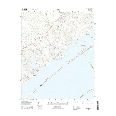
2016 Map of Holly Ridge
USGS Topo · Published 2016About this map
Topsail Island and the neighboring mainland of Pender and Onslow Counties are defined by a complex network of coastal sounds, marshes, and creeks. The landscape is a mix of dense residential beach development in Surf City and Topsail Beach contrasted with the forested and swampy interior. The Intracoastal Waterway serves as the primary maritime artery, separating the barrier island from mainland points like Watts Landing and Sloop Point. Inland, the town of Holly Ridge serves as a local hub, supported by aviation infrastructure such as the Holly Ridge/Topsail Island Airport and Topsail Airpark. The intricate drainage of the mainland is evident in features like Batts Mill Creek and Beckys Creek, which feed into Waters Bay and Topsail Sound, illustrating the area's transition from pine-covered lowlands to the Atlantic coast.
Find a feature on this map
126 named features on this map. Tap any name to fly to it.
Don’t see what you’re looking for? This feature index may not catch every label — zoom into the map to look around manually.
Map Details
Editions of this 2016 Holly Ridge Map
This is the sole edition of this map. No revisions or reprints were ever made.
Other maps of this area

1942 · Spicer Bay
USGS Topo · 1:62,500

1942 · Topsail
USGS Topo · 1:62,500

1948 · Maple Hill
USGS Topo · 1:62,500

1948 · Topsail
USGS Topo · 1:62,500

1948 · New River
USGS Topo · 1:62,500

1952 · Spicer Bay
USGS Topo · 1:24,000

1952 · Sneads Ferry
USGS Topo · 1:24,000

1953 · Beaufort
USGS Topo · 1:250,000

1954 · Beaufort
USGS Topo · 1:250,000

1970 · Hampstead
USGS Topo · 1:24,000