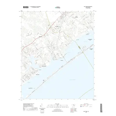
2019 Map of Holly Ridge
USGS Topo · Published 2019About this map
Holly Ridge serves as the inland anchor for this coastal region, where the mainland gives way to the intricate wetlands and sounds of the North Carolina shore. The landscape is defined by the Intracoastal Waterway and Topsail Sound, which separate the mainland from the narrow barrier of Topsail Island. This survey captures the residential density of Surf City and its expansion across both the mainland and the island.
Find a feature on this map
145 named features on this map. Tap any name to fly to it.
Don’t see what you’re looking for? This feature index may not catch every label — zoom into the map to look around manually.
Map Details
Editions of this 2019 Holly Ridge Map
This is the sole edition of this map. No revisions or reprints were ever made.
Other maps of this area

1942 · Spicer Bay
USGS Topo · 1:62,500

1942 · Topsail
USGS Topo · 1:62,500

1948 · Maple Hill
USGS Topo · 1:62,500

1948 · Topsail
USGS Topo · 1:62,500

1948 · New River
USGS Topo · 1:62,500

1952 · Spicer Bay
USGS Topo · 1:24,000

1952 · Sneads Ferry
USGS Topo · 1:24,000

1953 · Beaufort
USGS Topo · 1:250,000

1954 · Beaufort
USGS Topo · 1:250,000

1970 · Hampstead
USGS Topo · 1:24,000