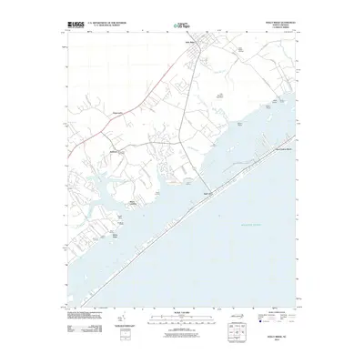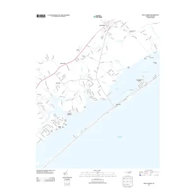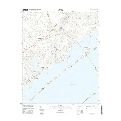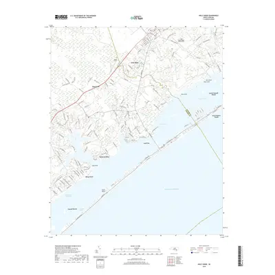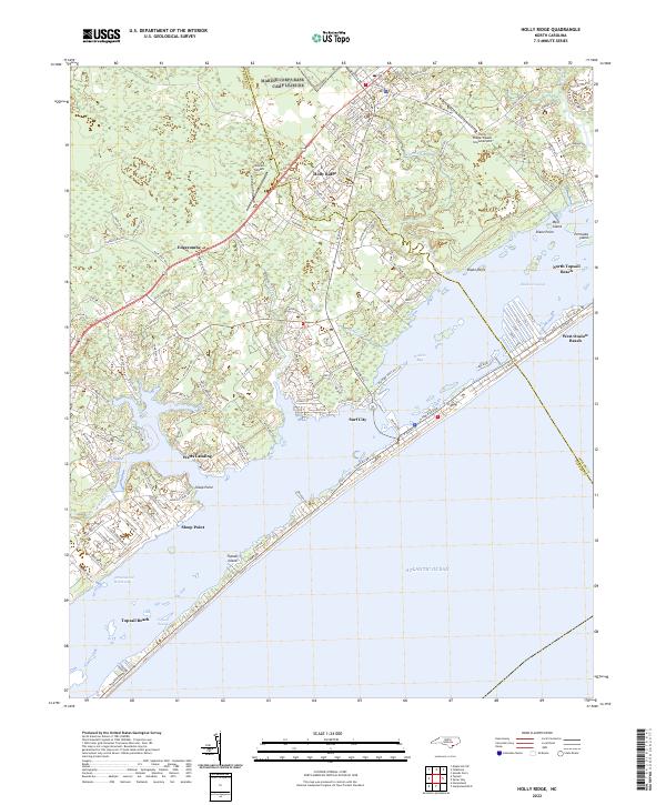
2022 Map of Holly Ridge
USGS Topo · Published 2022About this map
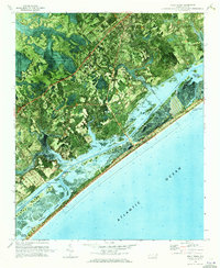
Holly Ridge and the surrounding coastal communities in Onslow and Pender counties define this maritime landscape, where the mainland meets the barrier island of Topsail Island. The geography is shaped by the Intracoastal Waterway and Topsail Sound, separating established mainland settlements like Edgecombe and Sloop Point from the developed vacation strands of Surf City and North Topsail Beach. The presence of both the Holly Ridge/Topsail Island Airport and Topsail Airpark highlights the area's significance for regional aviation and coastal access.
Find a feature on this map
143 named features on this map. Tap any name to fly to it.
Don’t see what you’re looking for? This feature index may not catch every label — zoom into the map to look around manually.
Map Details
Editions of this 2022 Holly Ridge Map
This is the sole edition of this map. No revisions or reprints were ever made.
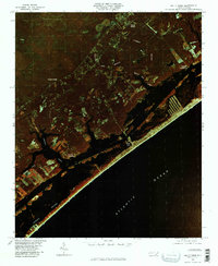
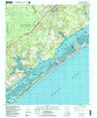
Historical Maps of Surf City Through Time
8 maps found