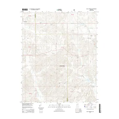
2015 Map of Holly Springs SE
USGS Topo · Published 2015About this map
The Coldwater River winds through the northern portion of this landscape, marking a terrain defined by the dense woodlands of the Holly Springs National Forest. The settlement of Hudsonville serves as a primary reference point in the northwest, situated along a network of rural routes including Holland Rd and Hudsonville Rd. This area of Marshall County is notable for its high density of family and community burial grounds, such as the Governor Matthews Cem and Chestnut Grove Cem, which provide significant anchor points for genealogical research. To the east, the drainage systems of Little Snow Cr and Big Snow Cr converge toward Lake Reservoir, illustrating the hydrologic character of the region. The presence of Nichol Airpark and several small water bodies like Chewalla Lake further distinguishes this rural Mississippi geography.
Find a feature on this map
47 named features on this map. Tap any name to fly to it.
Don’t see what you’re looking for? This feature index may not catch every label — zoom into the map to look around manually.
Map Details
Editions of this 2015 Holly Springs SE Map
This is the sole edition of this map. No revisions or reprints were ever made.
Other maps of this area

1944 · Potts Camp
USGS Topo · 1:62,500

1945 · Potts Camp
USGS Topo · 1:62,500

1950 · Ashland
USGS Topo · 1:62,500

1953 · Holly Springs
USGS Topo · 1:62,500

1955 · Blue Mountain
USGS Topo · 1:62,500

1956 · Tupelo
USGS Topo · 1:250,000

1958 · Tupelo
USGS Topo · 1:250,000

1964 · Waterford
USGS Topo · 1:24,000

1964 · Holly Springs SE
USGS Topo · 1:24,000
1965 · Slayden
USGS Topo · 1:24,000