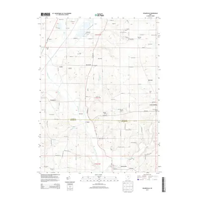
2013 Map of Holmesville
USGS Topo · Published 2013About this map
Holmesville and Fredericksburg anchor this 2013 survey of the boundary between Wayne and Holmes Counties. The landscape is defined by the broad valley of Killbuck Creek, which flows southward through the center of the quadrangle. Several small tributaries, including Shreve Cr and Savage Run, drain the surrounding upland knobs. The map reveals a dense network of family farms and local airfields, such as Davies Air Field and Stine Field Airport, indicating the region's agricultural and light aviation character.
Find a feature on this map
131 named features on this map. Tap any name to fly to it.
Don’t see what you’re looking for? This feature index may not catch every label — zoom into the map to look around manually.
Map Details
Editions of this 2013 Holmesville Map
This is the sole edition of this map. No revisions or reprints were ever made.
Other maps of this area

1901 · Wooster
USGS Topo · 1:62,500

1903 · Wooster
USGS Topo · 1:62,500

1906 · West Salem
USGS Topo · 1:62,500

1908 · West Salem
USGS Topo · 1:62,500

1912 · Loudonville
USGS Topo · 1:62,500

1914 · Loudonville
USGS Topo · 1:62,500

1915 · Millersburg
USGS Topo · 1:62,500

1943 · Millersburg
USGS Topo · 1:62,500

1943 · Loudonville
USGS Topo · 1:62,500

1950 · Marion
USGS Topo · 1:250,000