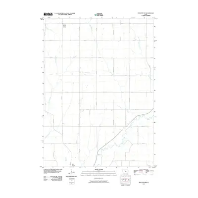
2010 Map of Holstein SW
USGS Topo · Published 2010About this map
Midway and the small locality of Morris anchor this agricultural landscape in Woodbury County, defined by a rigorous section-line road grid and the meandering path of the Maple River. This 2010 survey illustrates the deep-rooted community foundations of rural Iowa through sites like the Saint Paul Lutheran Cemetery in the north and Saint Marys Cemetery near the southern boundary. The terrain is intricately drained by numerous waterways, including Big Creek, Reynolds Creek, and Moorhead Creek, which slice through the cultivated fields. The map's layout of named thoroughfares such as Story Ave, Woodbury Ave, and 250th St provides a precise coordinate system for genealogists and local historians tracing land ownership and family homesteads across the townships at the start of the twenty-first century.
Find a feature on this map
29 named features on this map. Tap any name to fly to it.
Don’t see what you’re looking for? This feature index may not catch every label — zoom into the map to look around manually.
Map Details
Editions of this 2010 Holstein SW Map
This is the sole edition of this map. No revisions or reprints were ever made.
Other maps of this area

1954 · Fort Dodge
USGS Topo · 1:250,000

1957 · Fort Dodge
USGS Topo · 1:250,000

1958 · Fort Dodge
USGS Topo · 1:250,000

1967 · Holstein
USGS Topo · 1:24,000

1967 · Battle Creek
USGS Topo · 1:24,000

1969 · Danbury
USGS Topo · 1:24,000

1969 · Holstein SW
USGS Topo · 1:24,000

1969 · Mapleton
USGS Topo · 1:24,000

1969 · Correctionville
USGS Topo · 1:24,000

1969 · Cushing
USGS Topo · 1:24,000