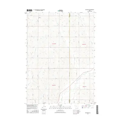
2015 Map of Holstein SW
USGS Topo · Published 2015About this map
The rolling agricultural landscape of western Iowa is defined by its sectional grid and rural landmarks along the Woodbury Co Ida Co line. These borderlands between Midway and Holstein are anchored by generational markers of the farming community, including Saint Paul Lutheran Cem in the north and Saint Marys Cem to the south. The drainage patterns of the Loess Hills region are evident in the winding courses of Big Cr, Moorhead Cr, and Aldrich Cr, which carve through the high ground of T87N and T86N. This survey documents the persistent rural character of the region, showing how the township and range system dictates the placement of farmsteads and the network of county roads that serve them.
Find a feature on this map
12 named features on this map. Tap any name to fly to it.
Don’t see what you’re looking for? This feature index may not catch every label — zoom into the map to look around manually.
Map Details
Editions of this 2015 Holstein SW Map
This is the sole edition of this map. No revisions or reprints were ever made.
Other maps of this area

1954 · Fort Dodge
USGS Topo · 1:250,000
1957 · Fort Dodge
USGS Topo · 1:250,000
1958 · Fort Dodge
USGS Topo · 1:250,000
1967 · Holstein
USGS Topo · 1:24,000
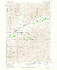
1967 · Battle Creek
USGS Topo · 1:24,000
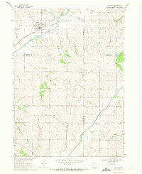
1969 · Danbury
USGS Topo · 1:24,000
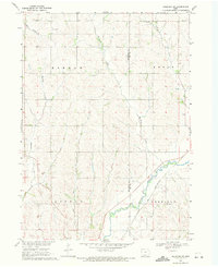
1969 · Holstein SW
USGS Topo · 1:24,000
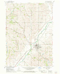
1969 · Mapleton
USGS Topo · 1:24,000
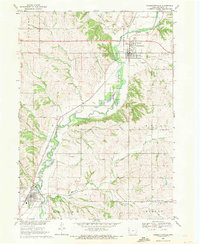
1969 · Correctionville
USGS Topo · 1:24,000
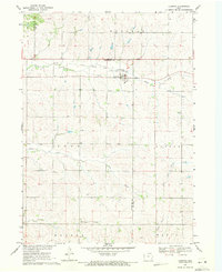
1969 · Cushing
USGS Topo · 1:24,000