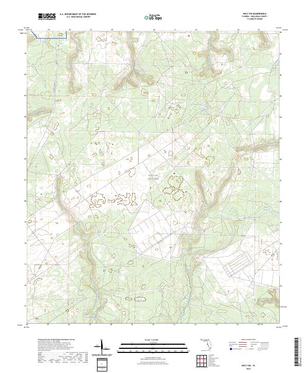
2024 Map of Holt SW
USGS Topo · Published 2024About this map
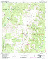
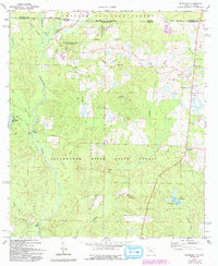
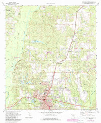
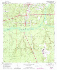
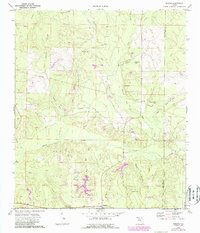
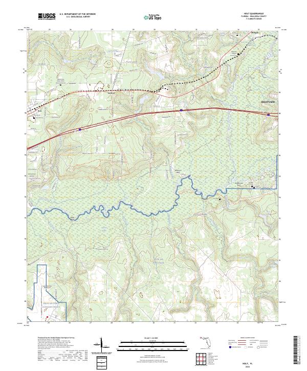
Eglin Air Force Base dominates the landscape of this southwestern Okaloosa County area, where vast undeveloped tracts are defined by a complex network of wetlands and drainage basins. The terrain is characterized by the meandering Turtle Creek and the southern reaches of East Bay Swamp, reflecting the hydrologic character of the Florida panhandle. The presence of Military Road 257 serves as one of the few primary access points through this secure government land, emphasizing the transition from localized agriculture and timbering in previous eras to military and conservation management. Numerous water bodies, including Pocosin Pond and Tigertail Branch, create a mosaic of aquatic environments that have historically dictated movement and land use across the township lines of T1N and T2N. The map reveals the interplay between managed military airspace and the natural hydrology of systems like Turkey Creek and Middle Creek.
Find a feature on this map
21 named features on this map. Tap any name to fly to it.
Don’t see what you’re looking for? This feature index may not catch every label — zoom into the map to look around manually.
Map Details
Editions of this 2024 Holt SW Map
This is the sole edition of this map. No revisions or reprints were ever made.
Historical Maps of Okaloosa County Through Time
22 maps found

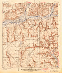
1934 Holt
Okaloosa County, FL
1937 Holt
Okaloosa County, FL
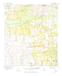
1956 Holt
Okaloosa County, FL
1970 Holt SW
Okaloosa County, FL
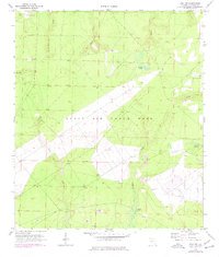
1973 Baker
Okaloosa County, FL
1973 Blackman
Okaloosa County, FL
1973 Crestview North
Okaloosa County, FL
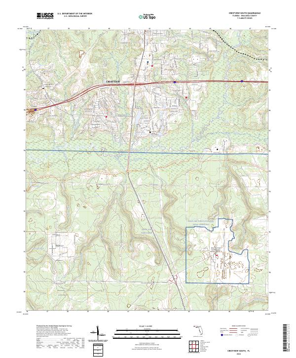
1973 Crestview South
Okaloosa County, FL
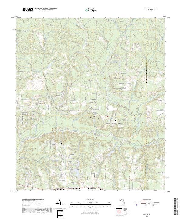
1973 Dorcas
Okaloosa County, FL
1973 Holt
Okaloosa County, FL
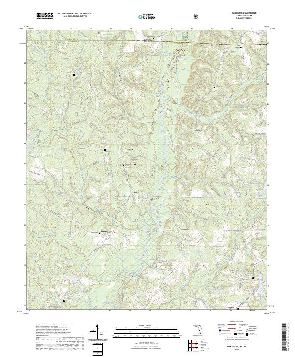
1973 Oak Grove
Okaloosa County, FL
1973 Spencer Flats
Okaloosa County, FL
1994 Crestview South
Okaloosa County, FL
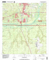
2024 Baker
Okaloosa County, FL
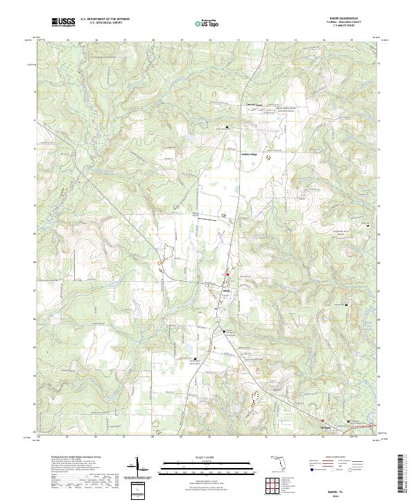
2024 Blackman
Okaloosa County, FL
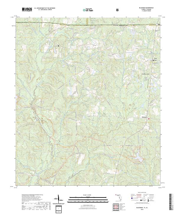
2024 Crestview North
Okaloosa County, FL
2024 Crestview South
Okaloosa County, FL
2024 Dorcas
Okaloosa County, FL
2024 Holt
Okaloosa County, FL
2024 Holt SW
Okaloosa County, FL
2024 Oak Grove
Okaloosa County, FL
2024 Spencer Flats
Okaloosa County, FL