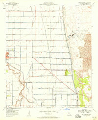
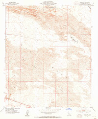
1957 Map of Holtville East
USGS Topo · Published 1958About this map
Holtville anchors this mid-century survey of the Imperial Valley, where the rigid grid of agricultural reclamation meets the untamed Sand Dunes of the eastern desert. The landscape is defined by an intricate network of irrigation, featuring the East Highline Canal and the Alamo River, which support the intensive farming indicated by dozens of specialized lateral drains and canals. Outside the main settlement, the map records rural hubs like Date City and specialized facilities including the Imperial Valley Sanitarium and the Watton Labor Camp, providing a detailed view of the valley's social and economic structure during a period of significant growth. To the east, the abrupt transition to the Mesa and dunes highlights the sharp boundary between irrigated farmland and the arid California interior. Local landmarks like the Alamo School, Lechuga Store, and the Holtville Outlying Field offer specific points of interest for genealogists and local historians tracing the development of this desert community.
Find a feature on this map
128 named features on this map. Tap any name to fly to it.
Don’t see what you’re looking for? This feature index may not catch every label — zoom into the map to look around manually.
Map Details
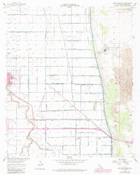
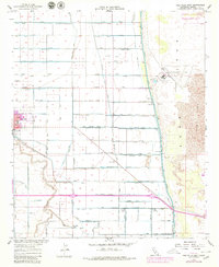
Editions of this 1957 Holtville East Map
3 editions found
Other maps of this area

1907 · Holtville
USGS Topo · 1:125,000

1940 · Alamorio
USGS Topo · 1:62,500

1940 · Calexico
USGS Topo · 1:62,500

1942 · El Centro
USGS Topo · 1:250,000

1943 · Calexico
USGS Topo · 1:62,500

1945 · Alamorio
USGS Topo · 1:62,500
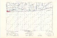
1953 · Calexico
USGS Topo · 1:50,000

1954 · El Centro
USGS Topo · 1:250,000

1954 · Midway Well NW
USGS Topo · 1:24,000
1954 · Glamis SW
USGS Topo · 1:24,000