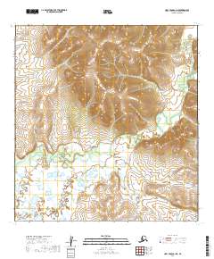
2019 Map of Holy Cross A-1 NE
USGS Topo · Published 2019About this map
The Reindeer River meanders across the southern half of this landscape, its path defined by a complex network of wetlands and small thaw lakes. In the northern sections, the terrain rises toward the Fox Hills, which provide a stark elevation contrast to the low-lying river basin. This 2019 survey documents the intricate hydrologic patterns of the Yukon-Koyukuk region, illustrating how the seasonal water flow and permafrost-influenced topography shape the land. The mapping of t24n r54w and surrounding township boundaries indicates the remote nature of this wilderness, where natural features rather than human infrastructure define the geography.
Find a feature on this map
7 named features on this map. Tap any name to fly to it.
Don’t see what you’re looking for? This feature index may not catch every label — zoom into the map to look around manually.
Map Details
Editions of this 2019 Holy Cross A-1 NE Map
This is the sole edition of this map. No revisions or reprints were ever made.
Other maps of this area

1951 · Holy Cross
USGS Topo · 1:250,000

1951 · Iditarod
USGS Topo · 1:250,000

1952 · Holy Cross A-1
USGS Topo · 1:63,360

1952 · Holy Cross B-1
USGS Topo · 1:63,360

1952 · Holy Cross
USGS Topo · 1:250,000

1954 · Iditarod A-6
USGS Topo · 1:63,360
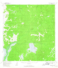
1954 · Iditarod B-6
USGS Topo · 1:63,360

1956 · Iditarod
USGS Topo · 1:250,000
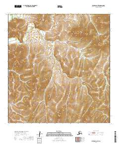
2019 · Iditarod A-6 NW
USGS Topo · 1:25,000
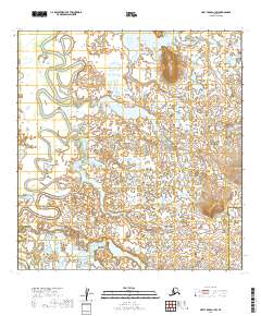
2019 · Holy Cross A-1 SW
USGS Topo · 1:25,000