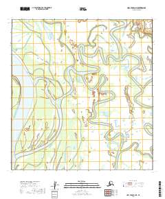
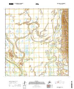
2019 Map of Holy Cross A-2 NE
USGS Topo · Published 2019About this map
Salmon Island and the surrounding riverine landscape define this area of the Yukon-Koyukuk region, where complex water systems dominate the terrain. The Yukon River flows along the western edge of the quadrangle, serving as a primary corridor for travel and subsistence in this part of Alaska. To the east, the Innoko River meanders through a labyrinth of secondary channels, including the Innoko Slough and Paimiut Slough. The intricate network of waterways, characterized by features like Red-Wind-Slough, illustrates a dynamic environment shaped by seasonal hydrological shifts. This survey documents the intersection of these major river systems before further natural or man-made changes, providing a clear record of the channels and islands that local residents and researchers rely upon for navigation and land use.
Find a feature on this map
10 named features on this map. Tap any name to fly to it.
Don’t see what you’re looking for? This feature index may not catch every label — zoom into the map to look around manually.
Map Details
Editions of this 2019 Holy Cross A-2 NE Map
This is the sole edition of this map. No revisions or reprints were ever made.
Other maps of this area

1951 · Holy Cross
USGS Topo · 1:250,000

1952 · Holy Cross B-2
USGS Topo · 1:63,360

1952 · Holy Cross A-2
USGS Topo · 1:63,360

1952 · Holy Cross A-1
USGS Topo · 1:63,360

1952 · Holy Cross B-1
USGS Topo · 1:63,360

1952 · Holy Cross
USGS Topo · 1:250,000
2019 · Holy Cross A-2 SE
USGS Topo · 1:25,000
2019 · Holy Cross A-1 SW
USGS Topo · 1:25,000
2019 · Holy Cross A-1 NW
USGS Topo · 1:25,000
2019 · Holy Cross B-2 SE
USGS Topo · 1:25,000