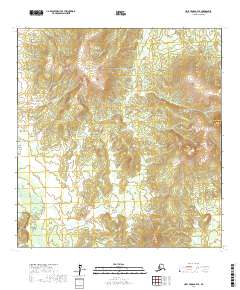
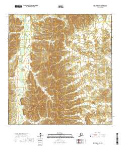
2017 Map of Holy Cross B-4 SE
USGS Topo · Published 2017About this map
Two Spot Mountains dominate the northern landscape of this interior Alaskan quadrangle, providing a topographic anchor for the surrounding river valleys. The terrain is defined by the high ground of Two Spot Mtn and the prominent Bonasila Dome to the east. These elevations channel the regional drainage, most notably the Stuyahok River winding through the southwestern corner and Paradise Cr flowing through the central sections. This 2017 survey reflects a largely untouched wilderness within the Yukon-Koyukuk Census Area, where the lack of human infrastructure like roads or settlements emphasizes the dominance of natural geographic features and the Public Land Survey System boundaries.
Find a feature on this map
9 named features on this map. Tap any name to fly to it.
Don’t see what you’re looking for? This feature index may not catch every label — zoom into the map to look around manually.
Map Details
Editions of this 2017 Holy Cross B-4 SE Map
This is the sole edition of this map. No revisions or reprints were ever made.
Other maps of this area

1951 · Holy Cross
USGS Topo · 1:250,000

1952 · Holy Cross A-4
USGS Topo · 1:63,360

1952 · Holy Cross B-3
USGS Topo · 1:63,360

1952 · Holy Cross A-3
USGS Topo · 1:63,360

1952 · Holy Cross B-4
USGS Topo · 1:63,360

1952 · Holy Cross
USGS Topo · 1:250,000
2017 · Holy Cross B-4 SW
USGS Topo · 1:25,000
2017 · Holy Cross A-4 NW
USGS Topo · 1:25,000
2017 · Holy Cross B-4 NW
USGS Topo · 1:25,000
2017 · Holy Cross A-4 NE
USGS Topo · 1:25,000