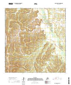
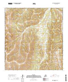
2017 Map of Holy Cross B-4 SW
USGS Topo · Published 2017About this map
The Stuyahok River and its intricate drainage system dominate the eastern half of this terrain in the Yukon-Koyukuk Census Area. Flowing through a landscape characterized by complex topographic contours, the river’s path is marked by numerous small tributaries and seasonal water bodies typical of the Alaskan interior. To the west, the Huuk River skirts the edge of the survey area, framing a series of prominent ridges and valleys. The absence of roads or named settlements underscores the isolated nature of this wilderness at the time of this 2017 survey. The map provides a detailed view of the public land survey system divisions, including t26n r63w and t26n r62w, offering precise data for those interested in the geographic structure of this remote region.
Find a feature on this map
6 named features on this map. Tap any name to fly to it.
Don’t see what you’re looking for? This feature index may not catch every label — zoom into the map to look around manually.
Map Details
Editions of this 2017 Holy Cross B-4 SW Map
This is the sole edition of this map. No revisions or reprints were ever made.
Other maps of this area

1951 · Holy Cross
USGS Topo · 1:250,000

1951 · Holy Cross A-5
USGS Topo · 1:63,360

1952 · Holy Cross A-4
USGS Topo · 1:63,360

1952 · Holy Cross B-5
USGS Topo · 1:63,360

1952 · Holy Cross B-4
USGS Topo · 1:63,360

1952 · Holy Cross
USGS Topo · 1:250,000
1952 · Holy Cross A-5
USGS Topo · 1:63,360
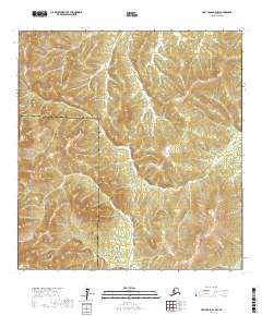
2017 · Holy Cross A-4 NW
USGS Topo · 1:25,000
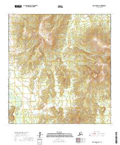
2017 · Holy Cross B-4 SE
USGS Topo · 1:25,000
2017 · Holy Cross B-5 SE
USGS Topo · 1:25,000