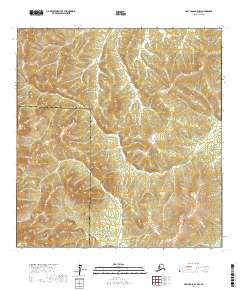
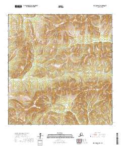
2017 Map of Holy Cross A-4 NW
USGS Topo · Published 2017About this map
The jurisdictional divide between the Yukon-Koyukuk Census Area and the Kusilvak Census Area cuts across this interior Alaskan landscape. This 2017 survey focuses on a largely undeveloped region defined by its complex topography and the Public Land Survey System grid, including portions of T25n R63w and T24n R63w. The map illustrates the raw elevation patterns of the Alaskan wilderness before significant modern infrastructure reached this specific corridor. Researchers and cartographers can trace the precise boundary lines where these two census areas meet, offering a detailed view of administrative borders in a remote northern environment. The lack of named roads or settlements highlights the isolation of this terrain during the early 21st century.
Find a feature on this map
6 named features on this map. Tap any name to fly to it.
Don’t see what you’re looking for? This feature index may not catch every label — zoom into the map to look around manually.
Map Details
Editions of this 2017 Holy Cross A-4 NW Map
This is the sole edition of this map. No revisions or reprints were ever made.
Other maps of this area

1951 · Holy Cross
USGS Topo · 1:250,000

1951 · Holy Cross A-5
USGS Topo · 1:63,360

1952 · Holy Cross A-4
USGS Topo · 1:63,360

1952 · Holy Cross B-5
USGS Topo · 1:63,360

1952 · Holy Cross B-4
USGS Topo · 1:63,360

1952 · Holy Cross
USGS Topo · 1:250,000
1952 · Holy Cross A-5
USGS Topo · 1:63,360
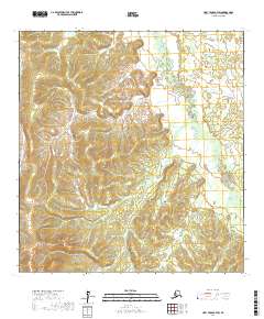
2017 · Holy Cross B-4 SW
USGS Topo · 1:25,000
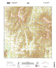
2017 · Holy Cross B-4 SE
USGS Topo · 1:25,000
2017 · Holy Cross A-5 SE
USGS Topo · 1:25,000