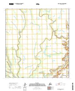
2019 Map of Holy Cross C-2 SW
USGS Topo · Published 2019About this map
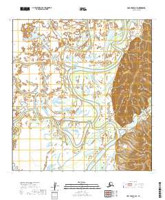
The remote interior of the Yukon-Koyukuk Census Area is meticulously charted in this topographic survey, focusing on the vast marshlands and meandering waterways of Western Alaska. Defined primarily by its public land survey system grid, the terrain includes T29n R57w and T29n R56w in the northern sections, transitioning into T28n R58w and T28n R57w to the south. This environment is characterized by a dense network of lakes, sloughs, and seasonally saturated wetlands, illustrating the complex drainage patterns of the region's river basins. The map provides a critical record of the undisturbed landscape before potential shifts in the permafrost or hydrological systems, offering researchers a detailed look at the section lines and township boundaries that define land ownership and management in this part of the Alaskan bush.
Find a feature on this map
4 named features on this map. Tap any name to fly to it.
Don’t see what you’re looking for? This feature index may not catch every label — zoom into the map to look around manually.
Map Details
Editions of this 2019 Holy Cross C-2 SW Map
This is the sole edition of this map. No revisions or reprints were ever made.
Other maps of this area

1951 · Holy Cross
USGS Topo · 1:250,000

1952 · Holy Cross B-2
USGS Topo · 1:63,360

1952 · Holy Cross C-2
USGS Topo · 1:63,360

1952 · Holy Cross B-3
USGS Topo · 1:63,360

1952 · Holy Cross C-3
USGS Topo · 1:63,360

1952 · Holy Cross
USGS Topo · 1:250,000
2017 · Holy Cross B-3 NE
USGS Topo · 1:25,000
2017 · Holy Cross C-3 NE
USGS Topo · 1:25,000
2017 · Holy Cross C-3 SE
USGS Topo · 1:25,000
2019 · Holy Cross C-2 SE
USGS Topo · 1:25,000