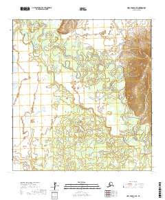
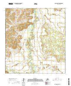
2017 Map of Holy Cross C-4 NE
USGS Topo · Published 2017About this map
The Anvik River dominates this landscape in the Yukon-Koyukuk Census Area, winding in a complex series of tight meanders and oxbows across the interior. This 2017 study illustrates a dynamic river system where the water has carved deep loops through the valley floor, creating numerous abandoned channels and marshy depressions. Joining this primary waterway are several smaller tributaries, including Theodore Cr in the northwest and Goblet Cr to the east. The terrain transitions from these broad, low-lying wetlands into significant upland ridges on the eastern side of the quadrangle. As a map of a largely unpopulated region, it serves primarily to document the physical geography and hydrology of the Alaskan interior, showing no roads or permanent settlements within the survey boundaries.
Find a feature on this map
9 named features on this map. Tap any name to fly to it.
Don’t see what you’re looking for? This feature index may not catch every label — zoom into the map to look around manually.
Map Details
Editions of this 2017 Holy Cross C-4 NE Map
This is the sole edition of this map. No revisions or reprints were ever made.
Other maps of this area

1951 · Holy Cross
USGS Topo · 1:250,000

1952 · Holy Cross D-4
USGS Topo · 1:63,360

1952 · Holy Cross D-3
USGS Topo · 1:63,360

1952 · Holy Cross C-3
USGS Topo · 1:63,360

1952 · Holy Cross C-4
USGS Topo · 1:63,360

1952 · Holy Cross
USGS Topo · 1:250,000
2017 · Holy Cross D-3 SW
USGS Topo · 1:25,000
2017 · Holy Cross D-4 SE
USGS Topo · 1:25,000
2017 · Holy Cross C-4 SE
USGS Topo · 1:25,000
2017 · Holy Cross C-4 SW
USGS Topo · 1:25,000