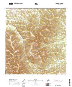
2019 Map of Holy Cross D-1 SE
USGS Topo · Published 2019About this map
Uninhabited interior terrain within the Yukon-Koyukuk Census Area is meticulously charted in this 2019 survey, focusing on the remote wilderness of the T32n R53w and T32n R52w townships. The landscape is defined by its lack of named settlements, roads, or modern infrastructure, instead characterized by the intricate contouring of the subarctic uplands. This area, spanning the intersection of T31n R53w and T31n R52w, represents the type of untouched Alaskan backcountry where traditional land divisions of the Public Land Survey System are the only human-imposed markers on the natural topography. The map's detail provides a clear view of the complex drainage patterns and elevation changes typical of this part of the Alaskan interior, offering a primary resource for those studying the physical geography or land management history of the region.
Find a feature on this map
4 named features on this map. Tap any name to fly to it.
Don’t see what you’re looking for? This feature index may not catch every label — zoom into the map to look around manually.
Map Details
Editions of this 2019 Holy Cross D-1 SE Map
This is the sole edition of this map. No revisions or reprints were ever made.
Other maps of this area

1951 · Holy Cross
USGS Topo · 1:250,000

1951 · Iditarod
USGS Topo · 1:250,000

1952 · Holy Cross C-1
USGS Topo · 1:63,360

1952 · Holy Cross D-1
USGS Topo · 1:63,360

1952 · Holy Cross
USGS Topo · 1:250,000

1954 · Iditarod D-6
USGS Topo · 1:63,360
1954 · Iditarod C-6
USGS Topo · 1:63,360

1956 · Iditarod
USGS Topo · 1:250,000
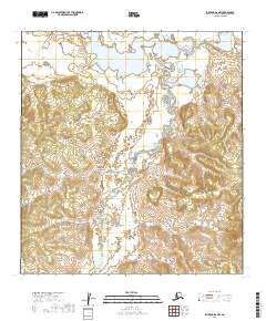
2019 · Iditarod D-6 NW
USGS Topo · 1:25,000
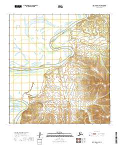
2019 · Holy Cross D-1 SW
USGS Topo · 1:25,000