Loading...
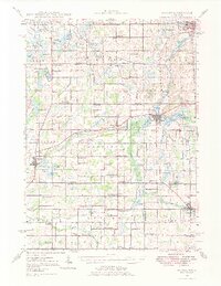
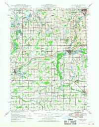
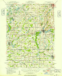
Loading map...1948 Map of Homer
USGS Topo · Published 1977About this map
Homer and Tekonsha anchor a landscape of agricultural tradition and rural education in the years following World War II. This portion of South-Central Michigan is defined by the headwaters of the St Joseph River and the winding course of the Kalamazoo River, which cuts through the northern reaches near Albion. The area is densely mapped with a high concentration of one-room schoolhouses, such as Grub Oak Sch, Knickerbocker Sch, and Cooks Prairie Sch, reflecting a pre-consolidation educational network that served local farm families.
Find a feature on this map
109 named features on this map. Tap any name to fly to it.
Don’t see what you’re looking for? This feature index may not catch every label — zoom into the map to look around manually.
Map Details
Date Portrayed1948
Date Published1977
PublisherU.S. Geological Survey
Map TypeTopographic
Scale1:62,500
Physical Dimensions16.98 x 21.96 inches
Editions of this 1948 Homer Map
2 editions found
Historical Maps of Albion Through Time
Featured Locations
Source Details
SourceU.S. Geological Survey
CopyrightPublic Domain