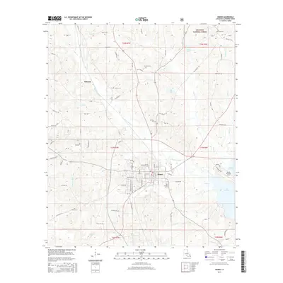
2015 Map of Homer
USGS Topo · Published 2015About this map
The town of Homer, located in Claiborne Parish, serves as the central hub for this North Louisiana landscape, where the street grid meets the winding waters of Beaver Br and Caney Cr. The area is defined by its deep connections to the land, shown through numerous small rural cemeteries like Phipps Cem, Kendrick Cem, and Merritt Cem, which trace family lineages across the timbered terrain. To the north, the Kisatchie National Forest marks a significant protected woodland, while the eastern edge is dominated by the expansive Lake Claiborne. This 2015 data reflects a modern balance between the historic settlement at McKenzie and the infrastructure supporting the Homer Municipal Airport. Local roads such as Homer Oilfield Rd and Dutchtown Rd weave between the tributaries of Bayou D'Arbonne, illustrating the rural development patterns of the region.
Find a feature on this map
94 named features on this map. Tap any name to fly to it.
Don’t see what you’re looking for? This feature index may not catch every label — zoom into the map to look around manually.
Map Details
Editions of this 2015 Homer Map
This is the sole edition of this map. No revisions or reprints were ever made.
Other maps of this area
1949 · Gibsland
USGS Topo · 1:62,500
1950 · Gibsland
USGS Topo · 1:62,500
1950 · Arcadia
USGS Topo · 1:62,500
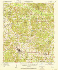
1951 · Arcadia
USGS Topo · 1:62,500
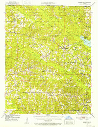
1951 · Summerfield
USGS Topo · 1:62,500
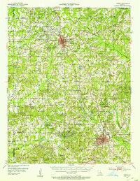
1952 · Homer
USGS Topo · 1:62,500
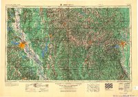
1955 · Shreveport
USGS Topo · 1:250,000
1956 · Shreveport
USGS Topo · 1:250,000
1984 · Shreveport
USGS Topo · 1:250,000
1985 · Monroe North
USGS Topo · 1:100,000