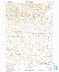
1961 Map of Homer
USGS Topo · Published 1990About this map
The North Fork Licking River and Otter Fk converge near Homer, anchoring a landscape that bridges Knox and Licking Counties. This mid-century survey reveals a rural Ohio geography organized around agricultural townships like Liberty and Milford, where small settlements such as Bangs and Brandon are connected by the Penn Central rail line. The map is particularly dense with small family and municipal burial grounds, including the Hyatt Cem, Bird Cem, and County Cem, providing significant spatial data for genealogists tracing ancestral homesteads. Transportation infrastructure ranges from the traditional, like the multiple crossings of Dry Creek, to mid-century aviation markers such as the Wynkoop Airport and a dedicated Landing Strip. The presence of several trailer parks and a substation near Dry Run points to the gradual infrastructure modernization occurring in the post-war era.
Find a feature on this map
34 named features on this map. Tap any name to fly to it.
Don’t see what you’re looking for? This feature index may not catch every label — zoom into the map to look around manually.
Map Details
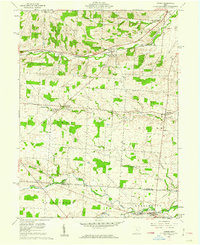
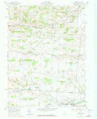
Editions of this 1961 Homer Map
Other maps of this area

1908 · Granville
USGS Topo · 1:62,500

1909 · Newark
USGS Topo · 1:62,500

1910 · Granville
USGS Topo · 1:62,500

1912 · Gambier
USGS Topo · 1:62,500

1914 · Gambier
USGS Topo · 1:62,500

1915 · Fredericktown
USGS Topo · 1:62,500

1943 · Gambier
USGS Topo · 1:62,500

1943 · Fredericktown
USGS Topo · 1:62,500

1950 · Marion
USGS Topo · 1:250,000
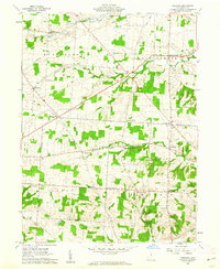
1961 · Fredonia
USGS Topo · 1:24,000