
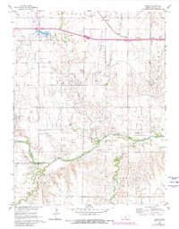
1961 Map of Homer
USGS Topo · Published 1962About this map
Smoky Hill River meanders across this Central Kansas landscape, its valley floor marked by extensive extractive activity during the early 1960s. The region is defined by a dense network of Sandpits and Gravel Pits concentrated along the riverbanks, particularly near the Gaging Sta. To the north, the Union Pacific railroad line passes through the small community of Homer, situated just east of the Russell Municipal Airport.
Find a feature on this map
25 named features on this map. Tap any name to fly to it.
Don’t see what you’re looking for? This feature index may not catch every label — zoom into the map to look around manually.
Map Details
Editions of this 1961 Homer Map
2 editions found
Other maps of this area

1896 · Russell
USGS Topo · 1:125,000

1955 · Great Bend
USGS Topo · 1:250,000

1956 · Dorrance SW
USGS Topo · 1:24,000

1957 · Great Bend
USGS Topo · 1:250,000

1958 · Great Bend
USGS Topo · 1:250,000

1961 · Russell SW
USGS Topo · 1:24,000

1967 · Russell NW
USGS Topo · 1:24,000
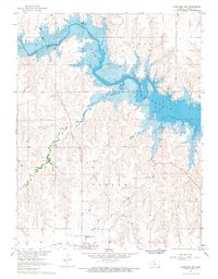
1967 · Dorrance NW
USGS Topo · 1:24,000

1967 · Russell
USGS Topo · 1:24,000
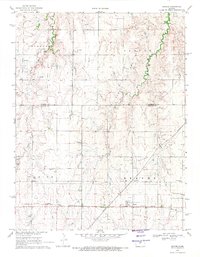
1969 · Beaver
USGS Topo · 1:24,000