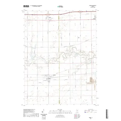
2021 Map of Homer
USGS Topo · Published 2021About this map
Homer and the surrounding farmland of eastern Champaign County are defined by the meandering course of the Salt Fork, which carves a wooded corridor through the grid of section roads. The village is home to the Homer Grand Army of the Republic Cem, a significant site for local genealogy and Civil War history. To the north, the village of Ogden sits along the interstate corridor, while Fithian marks the eastern edge of the survey near the Vermilion County line.
Find a feature on this map
73 named features on this map. Tap any name to fly to it.
Don’t see what you’re looking for? This feature index may not catch every label — zoom into the map to look around manually.
Map Details
Editions of this 2021 Homer Map
This is the sole edition of this map. No revisions or reprints were ever made.
Other maps of this area

1906 · Urbana
USGS Topo · 1:62,500

1931 · Fithian
USGS Topo · 1:48,000

1943 · Fithian
USGS Topo · 1:62,500

1953 · Danville
USGS Topo · 1:250,000

1953 · Indianapolis
USGS Topo · 1:250,000

1955 · Danville
USGS Topo · 1:250,000

1956 · Danville
USGS Topo · 1:250,000

1956 · Indianapolis
USGS Topo · 1:250,000

1956 · Newman
USGS Topo · 1:62,500

1956 · Villa Grove
USGS Topo · 1:62,500