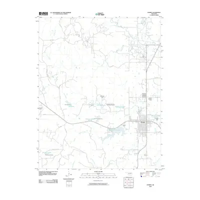
2009 Map of Hominy
USGS Topo · Published 2009About this map
Hominy serves as the central hub for this corner of Osage County, where a grid of streets and municipal infrastructure meets a landscape deeply defined by petroleum extraction. The surrounding countryside is dotted with significant energy landmarks, including the Osage Hominy Oil Field and Penn Creek Oil Field, signaling the area's long-standing reliance on the oil industry. Water management is equally prominent, with Lake Hominy, Hominy Municipal Lake, and the Southern Great Plains Field Station Lake providing local reservoirs and recreation spaces.
Find a feature on this map
48 named features on this map. Tap any name to fly to it.
Don’t see what you’re looking for? This feature index may not catch every label — zoom into the map to look around manually.
Map Details
Editions of this 2009 Hominy Map
This is the sole edition of this map. No revisions or reprints were ever made.
Other maps of this area

1909 · Pawhuska
USGS Topo · 1:125,000

1910 · Pawhuska
USGS Topo · 1:125,000

1912 · Hominy
USGS Topo · 1:125,000

1915 · Hominy
USGS Topo · 1:125,000

1915 · Hominy
USGS Topo · 1:62,500

1929 · Skedee
USGS Topo · 1:62,500

1931 · Skedee
USGS Topo · 1:62,500

1932 · Fairfax
USGS Topo · 1:62,500

1955 · Enid
USGS Topo · 1:250,000

1958 · Enid
USGS Topo · 1:250,000