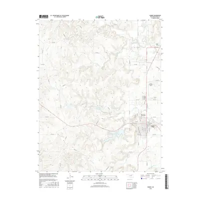
2016 Map of Hominy
USGS Topo · Published 2016About this map
Hominy and the nearby community of Indian Village sit at the intersection of a complex hydrological and topographic landscape in Osage County. This 2016 survey highlights a region shaped by modern water management and aviation, anchored by Hominy Municipal Lake and the Hominy Municipal Airport. The terrain is deeply incised by numerous waterways, including Nicicola Cr, Penn Cr, and the distinctive Black Dog Cr, which weave through the rolling hills.
Find a feature on this map
72 named features on this map. Tap any name to fly to it.
Don’t see what you’re looking for? This feature index may not catch every label — zoom into the map to look around manually.
Map Details
Editions of this 2016 Hominy Map
This is the sole edition of this map. No revisions or reprints were ever made.
Other maps of this area

1909 · Pawhuska
USGS Topo · 1:125,000

1910 · Pawhuska
USGS Topo · 1:125,000

1912 · Hominy
USGS Topo · 1:125,000

1915 · Hominy
USGS Topo · 1:125,000

1915 · Hominy
USGS Topo · 1:62,500

1929 · Skedee
USGS Topo · 1:62,500

1931 · Skedee
USGS Topo · 1:62,500

1932 · Fairfax
USGS Topo · 1:62,500

1955 · Enid
USGS Topo · 1:250,000

1958 · Enid
USGS Topo · 1:250,000