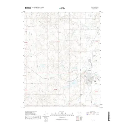
2018 Map of Hominy
USGS Topo · Published 2018About this map
Hominy serves as the central hub of this Osage County landscape, characterized by a complex network of local water bodies and tribal significance. To the southeast of the main town site lies Indian Village, while the surrounding terrain is defined by the winding course of Hominy Creek and its many tributaries, including Penn Cr and Black Dog Cr. The area is notably rich in managed water resources, featuring Lake Hominy, Lower Lake Hominy, and the Southern Great Plains Field Station Lake. Local genealogy and land use are reflected in the presence of the Hominy Cem and the smaller Ridge Family Cem to the northeast. Transportation and infrastructure are anchored by the Hominy Municipal Airport and a grid of county roads that navigate the rolling topography between the various reservoirs and creek valleys.
Find a feature on this map
72 named features on this map. Tap any name to fly to it.
Don’t see what you’re looking for? This feature index may not catch every label — zoom into the map to look around manually.
Map Details
Editions of this 2018 Hominy Map
This is the sole edition of this map. No revisions or reprints were ever made.
Other maps of this area

1909 · Pawhuska
USGS Topo · 1:125,000

1910 · Pawhuska
USGS Topo · 1:125,000

1912 · Hominy
USGS Topo · 1:125,000

1915 · Hominy
USGS Topo · 1:125,000

1915 · Hominy
USGS Topo · 1:62,500

1929 · Skedee
USGS Topo · 1:62,500

1931 · Skedee
USGS Topo · 1:62,500

1932 · Fairfax
USGS Topo · 1:62,500

1955 · Enid
USGS Topo · 1:250,000

1958 · Enid
USGS Topo · 1:250,000