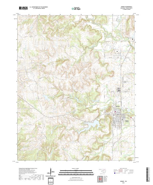
2022 Map of Hominy
USGS Topo · Published 2022About this map
The town of Hominy serves as the central hub of this Osage County landscape, flanked by the residential cluster of Indian Village to the east. This region is characterized by a complex network of waterways, including Hominy Creek and its many tributaries like Nicicola Cr and Moshetomoie Cr. The map reveals the local infrastructure surrounding the town, from the Hominy Municipal Airport to several significant water bodies such as Lake Hominy and the Southern Great Plains Field Station Lake. Genealogists will find particular value in the documentation of local burial sites, including the Hominy-Indian Village Cem and the Ridge Family Cem. The terrain is marked by numerous small reservoirs, such as 113061 Reservoir, and a dense grid of county roads that connect these prairie settlements. The detailed street plan of the town itself identifies key thoroughfares like W Main St and S Freeman Ave, providing a clear view of the community's layout in the early twenty-first century.
Find a feature on this map
70 named features on this map. Tap any name to fly to it.
Don’t see what you’re looking for? This feature index may not catch every label — zoom into the map to look around manually.
Map Details
Editions of this 2022 Hominy Map
This is the sole edition of this map. No revisions or reprints were ever made.
Other maps of this area

1909 · Pawhuska
USGS Topo · 1:125,000

1910 · Pawhuska
USGS Topo · 1:125,000

1912 · Hominy
USGS Topo · 1:125,000

1915 · Hominy
USGS Topo · 1:125,000

1915 · Hominy
USGS Topo · 1:62,500

1929 · Skedee
USGS Topo · 1:62,500

1931 · Skedee
USGS Topo · 1:62,500

1932 · Fairfax
USGS Topo · 1:62,500

1955 · Enid
USGS Topo · 1:250,000

1958 · Enid
USGS Topo · 1:250,000