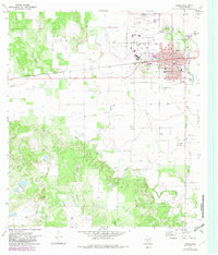
1970 Map of Hondo
USGS Topo · Published 1983About this map
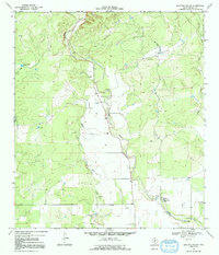
Hondo serves as the focal point of this South Texas landscape, where the Southern Pacific railroad corridor anchors the city's grid and industrial identity. The map reveals a community supported by local institutions, including the St John Sch, Meyer Sch, and the Hospital. To the west of the city center, the Municipal Airport and adjacent Golf Course show the mid-century expansion of the town's footprint beyond its rail-age origins.
Find a feature on this map
29 named features on this map. Tap any name to fly to it.
Don’t see what you’re looking for? This feature index may not catch every label — zoom into the map to look around manually.
Map Details
Editions of this 1970 Hondo Map
2 editions found
Other maps of this area

1928 · Frio Town
USGS Topo · 1:62,500

1954 · San Antonio
USGS Topo · 1:250,000

1956 · Sabinal
USGS Topo · 1:62,500

1956 · New Fountain
USGS Topo · 1:62,500

1957 · San Antonio
USGS Topo · 1:250,000
1964 · Biry
USGS Topo · 1:24,000

1964 · Yancey
USGS Topo · 1:24,000

1969 · Sabinal NE
USGS Topo · 1:24,000
1969 · Quihi
USGS Topo · 1:24,000
1969 · Mustang Valley
USGS Topo · 1:24,000