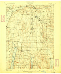
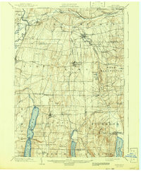
1904 Map of Honeoye
USGS Topo · Published 1909About this map
The Genesee River and a dense network of early 20th-century rail lines define this landscape in the Finger Lakes region. The Lehigh Valley R.R. and Erie R.R. intersect the terrain near Wadsworth Junc. and Rochester Junction, facilitating the transport of goods and passengers between centers like Honeoye Falls and Livonia. This era represents the height of rail-based commerce before the complete dominance of the automobile, notably illustrated by the Electric R.R. corridor running south through Lima.
Find a feature on this map
78 named features on this map. Tap any name to fly to it.
Don’t see what you’re looking for? This feature index may not catch every label — zoom into the map to look around manually.
Map Details
Editions of this 1904 Honeoye Map
6 editions found

Other maps of this area

1895 · Rochester
USGS Topo · 1:62,500

1898 · Rochester
USGS Topo · 1:62,500

1899 · Brockport
USGS Topo · 1:62,500

1900 · Macedon
USGS Topo · 1:62,500

1900 · Naples
USGS Topo · 1:62,500

1900 · Canandaigua
USGS Topo · 1:62,500

1901 · Honeoye
USGS Topo · 1:62,500

1902 · Wayland
USGS Topo · 1:62,500

1903 · Naples
USGS Topo · 1:62,500

1903 · Canandaigua
USGS Topo · 1:62,500