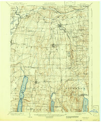
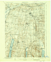
1904 Map of Honeoye
USGS Topo · Published 1942About this map
Honeoye Falls and the surrounding Finger Lakes region are defined by a dense network of early 20th-century transportation and water power. The map highlights a complex intersection of steam and electric transit, including the Lehigh Valley, several branches of the Erie R. R., and the Electric R. R. connecting Lima to the north. These lines facilitated the movement of agricultural goods and passengers between established village centers like Avon and West Bloomfield.
Find a feature on this map
75 named features on this map. Tap any name to fly to it.
Don’t see what you’re looking for? This feature index may not catch every label — zoom into the map to look around manually.
Map Details
Editions of this 1904 Honeoye Map
6 editions found

Other maps of this area

1895 · Rochester
USGS Topo · 1:62,500

1898 · Rochester
USGS Topo · 1:62,500

1899 · Brockport
USGS Topo · 1:62,500

1900 · Macedon
USGS Topo · 1:62,500

1900 · Naples
USGS Topo · 1:62,500

1900 · Canandaigua
USGS Topo · 1:62,500

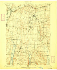
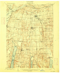
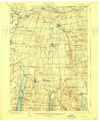
1901 · Honeoye
USGS Topo · 1:62,500

1902 · Wayland
USGS Topo · 1:62,500

1903 · Naples
USGS Topo · 1:62,500

1903 · Canandaigua
USGS Topo · 1:62,500