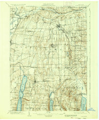
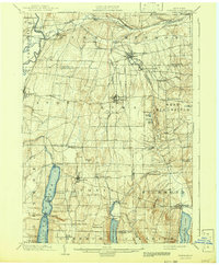
1904 Map of Honeoye
USGS Topo · Published 1936About this map
Honeoye Falls and the surrounding Finger Lakes hill country appear here at the turn of the century, marked by a sophisticated network of early railroads and milling settlements. The landscape is defined by the narrow, glacial basins of Conesus Lake, Hemlock Lake, and Honeoye Lake, which supported local commerce and seasonal residents at points like Cedarcrest and Mc Pherson Pt.. This 1904 survey reveals the importance of rail connectivity in the region, featuring the intersecting lines of the Lehigh Valley RR, the Erie RR, and the Electric RR.
Find a feature on this map
73 named features on this map. Tap any name to fly to it.
Don’t see what you’re looking for? This feature index may not catch every label — zoom into the map to look around manually.
Map Details
Editions of this 1904 Honeoye Map
6 editions found

Other maps of this area

1895 · Rochester
USGS Topo · 1:62,500

1898 · Rochester
USGS Topo · 1:62,500

1899 · Brockport
USGS Topo · 1:62,500

1900 · Macedon
USGS Topo · 1:62,500

1900 · Naples
USGS Topo · 1:62,500

1900 · Canandaigua
USGS Topo · 1:62,500

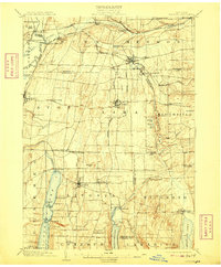
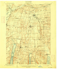
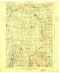
1901 · Honeoye
USGS Topo · 1:62,500

1902 · Wayland
USGS Topo · 1:62,500

1903 · Naples
USGS Topo · 1:62,500

1903 · Canandaigua
USGS Topo · 1:62,500