
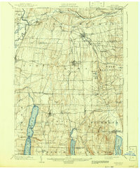
1904 Map of Honeoye
USGS Topo · Published 1904About this map
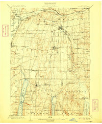
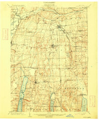
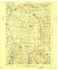
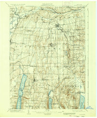
Honeoye Falls and the surrounding Finger Lakes uplands appear here at the height of the steam and electric rail era. The map reveals a dense network of transit, including the New York Central and Hudson River R. R. and the Electric R. R. running through Lima. These lines connected small milling centers and agricultural villages like North Bloomfield and Richmond Mills to the larger regional hubs.
Find a feature on this map
83 named features on this map. Tap any name to fly to it.
Don’t see what you’re looking for? This feature index may not catch every label — zoom into the map to look around manually.
Map Details
Editions of this 1904 Honeoye Map
6 editions found
Other maps of this area

1895 · Rochester
USGS Topo · 1:62,500

1898 · Rochester
USGS Topo · 1:62,500

1899 · Brockport
USGS Topo · 1:62,500

1900 · Macedon
USGS Topo · 1:62,500

1900 · Naples
USGS Topo · 1:62,500

1900 · Canandaigua
USGS Topo · 1:62,500

1901 · Honeoye
USGS Topo · 1:62,500

1902 · Wayland
USGS Topo · 1:62,500

1903 · Naples
USGS Topo · 1:62,500

1903 · Canandaigua
USGS Topo · 1:62,500