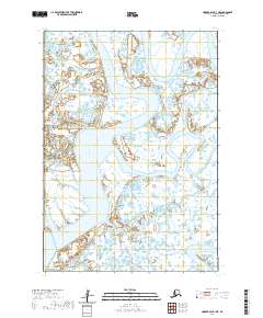
2020 Map of Hooper Bay A-1 NE
USGS Topo · Published 2020About this map
The Manokinak River dominates this landscape in the Kusilvak Census Area, meandering through a complex network of wetlands and tidal flats typical of coastal Alaska. This 2020 topographic study illustrates the intricate hydrography of the region, where the river channel winds through township lines including t13n r88w and t13n r89w. In the southeastern portion of the quadrangle, the Anerkochik River enters the frame, marking a separate drainage system within this water-logged terrain. The absence of roads or permanent settlements in this specific area highlights the preserved, wild character of the Yukon-Kuskokwim Delta region. The map provides a precise look at the land survey system, showing how section lines and township boundaries like t12n r89w and t12n r90w are superimposed over the shifting natural environment of the delta.
Find a feature on this map
6 named features on this map. Tap any name to fly to it.
Don’t see what you’re looking for? This feature index may not catch every label — zoom into the map to look around manually.
Map Details
Editions of this 2020 Hooper Bay A-1 NE Map
This is the sole edition of this map. No revisions or reprints were ever made.
Other maps of this area

1951 · Marshall
USGS Topo · 1:250,000

1951 · Hooper Bay
USGS Topo · 1:250,000

1953 · Hooper Bay
USGS Topo · 1:250,000
1953 · Hooper Bay B-1
USGS Topo · 1:63,360
1953 · Marshall B-8
USGS Topo · 1:63,360
1954 · Marshall A-8
USGS Topo · 1:63,360

1954 · Marshall
USGS Topo · 1:250,000
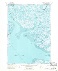
1954 · Hooper Bay A-1
USGS Topo · 1:63,360

1964 · Hooper Bay
USGS Topo · 1:250,000
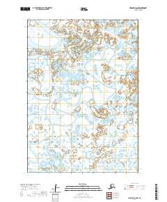
2020 · Marshall A-8 NW
USGS Topo · 1:25,000