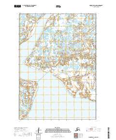
2020 Map of Hooper Bay A-1 NW
USGS Topo · Published 2020About this map
The Aphreun River meanders across this coastal Alaskan landscape, dominating a region of intricate wetlands and alluvial drainage. Located in the Kusilvak Census Area, the map documents a terrain where seasonal water movement is the primary architect of the environment, characterized by the Tungaluk Slough in the northern reaches. This 2020 record illustrates the complex relationship between land and water in a roadless expanse of the Yukon-Kuskokwim Delta, providing a precise look at the hydrography as it existed before recent shifts in Arctic weather patterns began to further alter these coastal marshlands.
Find a feature on this map
6 named features on this map. Tap any name to fly to it.
Don’t see what you’re looking for? This feature index may not catch every label — zoom into the map to look around manually.
Map Details
Editions of this 2020 Hooper Bay A-1 NW Map
This is the sole edition of this map. No revisions or reprints were ever made.
Other maps of this area

1951 · Hooper Bay
USGS Topo · 1:250,000
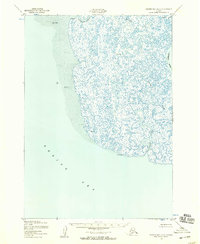
1952 · Hooper Bay A-2
USGS Topo · 1:63,360

1953 · Hooper Bay
USGS Topo · 1:250,000
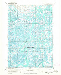
1953 · Hooper Bay B-1
USGS Topo · 1:63,360
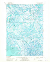
1953 · Hooper Bay B-2
USGS Topo · 1:63,360
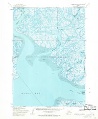
1954 · Hooper Bay A-1
USGS Topo · 1:63,360

1964 · Hooper Bay
USGS Topo · 1:250,000
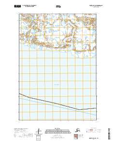
2020 · Hooper Bay A-2 SE
USGS Topo · 1:25,000
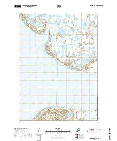
2020 · Hooper Bay A-1 SE
USGS Topo · 1:25,000
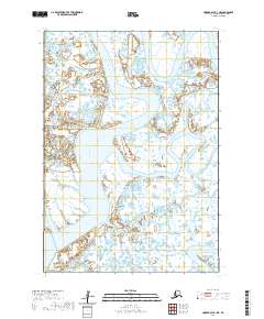
2020 · Hooper Bay A-1 NE
USGS Topo · 1:25,000