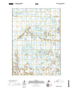
2020 Map of Hooper Bay B-2 NW
USGS Topo · Published 2020About this map
Keoklevik River winds through the expansive lowlands of the Kusilvak Census Area, defining the hydrology of this remote riverine landscape. The terrain is dominated by complex water systems, where the massive Keoklevik River and the Ninglikfak River meander through a labyrinth of small ponds and wetlands. This area, largely untouched by permanent settlements or road infrastructure, represents a critical delta ecosystem where the movement of water is the primary architect of the land. The intricate network of seasonal waterways and marshlands reflects the dynamic nature of the Alaska coastline, providing a clear record of the region's hydrographic patterns as they existed in the early 21st century.
Find a feature on this map
6 named features on this map. Tap any name to fly to it.
Don’t see what you’re looking for? This feature index may not catch every label — zoom into the map to look around manually.
Map Details
Editions of this 2020 Hooper Bay B-2 NW Map
This is the sole edition of this map. No revisions or reprints were ever made.
Other maps of this area

1951 · Hooper Bay
USGS Topo · 1:250,000
1952 · Hooper Bay B-3
USGS Topo · 1:63,360

1952 · Hooper Bay C-3
USGS Topo · 1:63,360

1953 · Hooper Bay
USGS Topo · 1:250,000
1953 · Hooper Bay B-2
USGS Topo · 1:63,360

1953 · Hooper Bay C-2
USGS Topo · 1:63,360

1964 · Hooper Bay
USGS Topo · 1:250,000
2020 · Hooper Bay B-3 SE
USGS Topo · 1:25,000
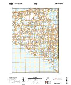
2020 · Hooper Bay C-3 SE
USGS Topo · 1:25,000
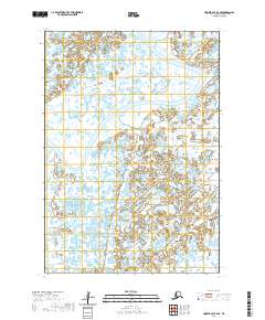
2020 · Hooper Bay B-2 SE
USGS Topo · 1:25,000