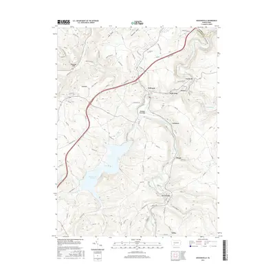
2016 Map of Hooversville
USGS Topo · Published 2016About this map
Hooversville and the surrounding Somerset County coal country appear in high detail during the early 21st century. The landscape is defined by the winding course of the Stonycreek River and the massive Quemahoning Reservoir, which dominates the western half of the quadrangle. Small settlements such as Jerome, Hollsopple, and Seanor are linked by a network of local roads like Miller Picking Rd and Saylor School Rd, reflecting the region's industrial and residential development. Local history is anchored by sites like Thomas Mill and the Kaufman Cem, providing a clear view of the area's social geography. Tributaries such as Shade Creek and Fallen Timber Run carve through the terrain, illustrating the complex drainage patterns that influenced the location of towns like Blough and Landstreet.
Find a feature on this map
87 named features on this map. Tap any name to fly to it.
Don’t see what you’re looking for? This feature index may not catch every label — zoom into the map to look around manually.
Map Details
Editions of this 2016 Hooversville Map
This is the sole edition of this map. No revisions or reprints were ever made.
Other maps of this area

1904 · Johnstown
USGS Topo · 1:62,500

1907 · Johnstown
USGS Topo · 1:62,500

1913 · Somerset
USGS Topo · 1:62,500

1914 · Windber
USGS Topo · 1:62,500

1915 · Somerset
USGS Topo · 1:62,500

1916 · Windber
USGS Topo · 1:62,500

1920 · New Florence
USGS Topo · 1:62,500

1921 · New Florence
USGS Topo · 1:48,000

1922 · New Florence
USGS Topo · 1:62,500

1944 · Somerset
USGS Topo · 1:62,500