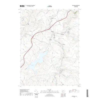
2019 Map of Hooversville
USGS Topo · Published 2019About this map
The Stonycreek River winds through this section of Somerset County, where the valley topography defines a string of tight-knit settlements. From the industrial corridors of Hooversville and Hollsopple to the smaller hamlets of Seanor and Blough, the landscape reflects a heritage of river-oriented development and mountain transit. The massive Quemahoning Reservoir dominates the western half of the sheet, its irregular shoreline reaching into the valleys formed by Twomile Run and Higgins Run.
Find a feature on this map
99 named features on this map. Tap any name to fly to it.
Don’t see what you’re looking for? This feature index may not catch every label — zoom into the map to look around manually.
Map Details
Editions of this 2019 Hooversville Map
This is the sole edition of this map. No revisions or reprints were ever made.
Other maps of this area

1904 · Johnstown
USGS Topo · 1:62,500

1907 · Johnstown
USGS Topo · 1:62,500

1913 · Somerset
USGS Topo · 1:62,500

1914 · Windber
USGS Topo · 1:62,500

1915 · Somerset
USGS Topo · 1:62,500

1916 · Windber
USGS Topo · 1:62,500

1920 · New Florence
USGS Topo · 1:62,500

1921 · New Florence
USGS Topo · 1:48,000

1922 · New Florence
USGS Topo · 1:62,500

1944 · Somerset
USGS Topo · 1:62,500