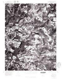
1977 Map of Hooversville
USGS Topo · Published 1979About this map
Quemahoning Reservoir dominates the western landscape of this Somerset County orthophotoquad, its winding shoreline cutting through a mosaic of active farmland and woodlots. The map reveals the intricate drainage patterns of the Allegheny Plateau, where Stony Creek and Shade Creek carve deep, narrow valleys that historically dictated the placement of rail lines and early coal-patch settlements. These waterways converge near the cluster of Hooversville, Hollsopple, and Seanor, reflecting an era when small-town industrial life was tied directly to the rugged topography and riparian resources.
Find a feature on this map
9 named features on this map. Tap any name to fly to it.
Don’t see what you’re looking for? This feature index may not catch every label — zoom into the map to look around manually.
Map Details
Editions of this 1977 Hooversville Map
This is the sole edition of this map. No revisions or reprints were ever made.
Other maps of this area

1904 · Johnstown
USGS Topo · 1:62,500

1907 · Johnstown
USGS Topo · 1:62,500

1913 · Somerset
USGS Topo · 1:62,500

1914 · Windber
USGS Topo · 1:62,500

1915 · Somerset
USGS Topo · 1:62,500

1916 · Windber
USGS Topo · 1:62,500

1920 · New Florence
USGS Topo · 1:62,500

1921 · New Florence
USGS Topo · 1:48,000

1922 · New Florence
USGS Topo · 1:62,500

1944 · Somerset
USGS Topo · 1:62,500