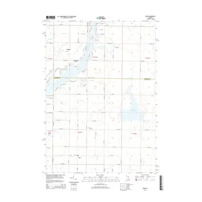
2014 Map of Hope
USGS Topo · Published 2014About this map
The Tittabawassee River flows south through the center of this landscape, feeding the expansive waters of Wixom Lake near the settlement of Lockwood Beach. This 2014 survey documents the complex drainage systems of the region, including Ortner Drain and Luenberger Drain, which reflect the managed water levels necessary for both agriculture and lakeside residential development. To the south, the village of Hope serves as a local hub near the Hope Cem, while Billings occupies the northern reaches along Estey Rd. The presence of several established burial grounds, including New Hope Cem and Billings Cem, provides significant points of reference for genealogists tracing family histories in these townships. The eastern portion of the sheet is marked by the Kawkawlin Cr Flooding, illustrating the low-lying, water-dominant character of the Gladwin and Midland county borderlands.
Find a feature on this map
93 named features on this map. Tap any name to fly to it.
Don’t see what you’re looking for? This feature index may not catch every label — zoom into the map to look around manually.
Map Details
Editions of this 2014 Hope Map
This is the sole edition of this map. No revisions or reprints were ever made.
Other maps of this area

1934 · Sanford
USGS Topo · 1:62,500

1936 · Sanford
USGS Topo · 1:62,500

1954 · Midland
USGS Topo · 1:250,000

1958 · Midland
USGS Topo · 1:250,000

1959 · Midland
USGS Topo · 1:250,000

1962 · Midland North
USGS Topo · 1:24,000

1966 · Midland
USGS Topo · 1:250,000

1969 · Gladwin
USGS Topo · 1:24,000
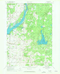
1969 · Hope
USGS Topo · 1:24,000
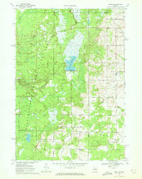
1969 · Bentley
USGS Topo · 1:24,000