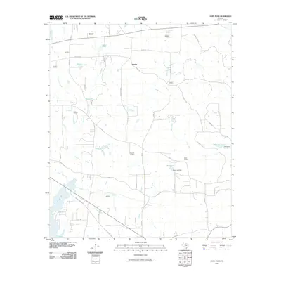
2010 Map of Hope Pond
USGS Topo · Published 2010About this map
Douglas sits at the intersection of several country roads in this portion of Smith County, where the landscape is defined by the headwaters and branches of Mud Creek and Rabbit Creek. The area retains a rural character marked by numerous family and community burial grounds, including Hopewell Cemetery, Prospect Cemetery, and the Holt Cemetery located near the Chapel Hill Oil Field. The eastern reaches of Lake Tyler East and Lake Tyler dominate the southwestern corner, while smaller impoundments like Hope Pond and L B Wilson Lake are scattered throughout the drainage basins. Transport and utility are reflected in the presence of the Oaks Airport and a dense network of county roads such as Jamestown Rd and Old Henderson Hwy, which link the various farms and homesteads across the rolling terrain of Beaver Run and Simon Branch.
Find a feature on this map
69 named features on this map. Tap any name to fly to it.
Don’t see what you’re looking for? This feature index may not catch every label — zoom into the map to look around manually.
Map Details
Editions of this 2010 Hope Pond Map
This is the sole edition of this map. No revisions or reprints were ever made.
Other maps of this area

1935 · Henderson
USGS Topo · 1:48,000

1936 · Kilgore
USGS Topo · 1:48,000

1937 · Troupe
USGS Topo · 1:48,000

1938 · Winona
USGS Topo · 1:48,000

1939 · Henderson
USGS Topo · 1:62,500

1940 · Kilgore
USGS Topo · 1:62,500

1943 · Troup
USGS Topo · 1:62,500

1943 · Winona
USGS Topo · 1:62,500

1956 · Tyler
USGS Topo · 1:250,000

1966 · Hope Pond
USGS Topo · 1:24,000