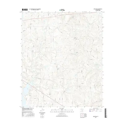
2016 Map of Hope Pond
USGS Topo · Published 2016About this map
The waters of Lake Tyler dominate the southwestern corner of this Smith County landscape, where the reservoir meets the mouths of Caney Cr and Everett Br. This 2016 survey captures a rural Texas geography characterized by a dense network of county roads and numerous small-scale water bodies, including Hope Pond, L B Wilson Lake, and Wilson Lake. The area's social history is recorded through a notable concentration of small burial grounds, such as Holt Cem, Bacon Cem, and the Wilson Curtis Cem in the eastern hills.
Find a feature on this map
75 named features on this map. Tap any name to fly to it.
Don’t see what you’re looking for? This feature index may not catch every label — zoom into the map to look around manually.
Map Details
Editions of this 2016 Hope Pond Map
This is the sole edition of this map. No revisions or reprints were ever made.
Other maps of this area

1935 · Henderson
USGS Topo · 1:48,000

1936 · Kilgore
USGS Topo · 1:48,000

1937 · Troupe
USGS Topo · 1:48,000

1938 · Winona
USGS Topo · 1:48,000

1939 · Henderson
USGS Topo · 1:62,500

1940 · Kilgore
USGS Topo · 1:62,500

1943 · Troup
USGS Topo · 1:62,500

1943 · Winona
USGS Topo · 1:62,500

1956 · Tyler
USGS Topo · 1:250,000

1966 · Hope Pond
USGS Topo · 1:24,000